Tracking Santa with satellites, radars, jet fighters, and a little help from an Exton tech company
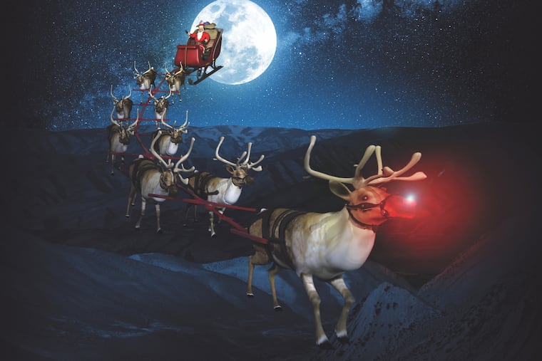
AGI has been working with NORAD since the late 1990s to visually represent Santa’s journey. The annual event is a showcase for the Exton firm's technology.

The Cold War-era military agreement that protects Canadian and U.S airspace includes an extra mission on Christmas Eve.
The North American Aerospace Defense Command uses its satellites, radars, and jet fighters to track what it insists is Santa Claus himself, flying on a magical sleigh powered by reindeer.
Back in a control center, Santa appears as a dot on a screen, said Capt. Cameron Hillier, a NORAD spokesperson. And that’s where Exton-based Analytical Graphics, Inc. comes in to provide a visual representation of Santa’s yuletide journey with added help from “Santa cameras” placed in various cities, said AGI CEO Paul Graziani. Viewers can follow Santa’s journey around the world starting at 2:01 a.m. ET Christmas Eve at www.noradsanta.org/.
All other days of the year, AGI’s flagship product Systems Tool Kit is used to simulate and analyze everything from a space mission to aircraft and missile defense systems. AGI has about 250 employees mostly in Exton with small offices in Colorado Springs, Colo., Washington, D.C., Singapore, and London. The company has more than 50,000 users worldwide.
Its customers are mostly companies involved in aerospace and national defense, including NASA.
AGI has been working with NORAD since the late 1990s to provide a visual representation of Santa’s supposed journey, showcasing AGI’s technology to millions of people who may not have otherwise known of the company. The partnership attracts millions of visitors worldwide to the Santa tracking website, as well as 1,500 volunteers who answer calls and emails from anyone inquiring about Santa’s whereabouts.
Photos and videos from “strategically placed Santa cameras” are overlaid on a mapping platform called Cesium, which creates a virtual 3D globe with oceans, terrain and other imagery, said Hannah Pinkos, an AGI software developer. Viewers can then watch the sleigh zip around the sky — his route is not planned beforehand but it tends to start in the far east and head west -- passing landmarks like the Eiffel Tower and the Statue of Liberty.
“Cesium allows us to show aircrafts and satellites and cars and anything that is moving in space and time. It allows us to put it in a context with other things," said CEO Graziani. “So just like we do with tracking Santa, we do with aircrafts and satellites with Cesium.”
The privately held company does not share its revenues.
Santa is somewhat based on the historical figure St. Nicholas who died around 343 AD.
This tradition of tracking a legend, as NORAD tells it, started as an accident 63 years ago when a Colorado Springs child saw an advertisement about Santa’s location, which said, “Hey, Kiddies! Call me direct and be sure and dial the correct number.”
But there was a typo and a young caller reached what was then the Continental Air Defense Command operations center and Col. Harry Shoup answered. Instead of brushing off the question, Shoup played along, later instructing his operators to give Santa’s location to every caller and say he was having a safe journey, NORAD’s Hillier said.
“Santa himself, of course, has been doing this for well over 16 centuries so he’s pretty well-versed. It’s just a matter of making him aware of what potential dangers there are,” Hillier said. “All the same things we use to track Santa are the same things we use to keep Canadians and Americans safe for the rest of the year.”
After Santa’s sleigh leaves the North Pole, Hillier said, it passes the North Warning System, the radar system that NORAD uses to detect threats.
“We have about 47 radar installations strung along Alaska and north of Canada as part of our North Warning System," Hillier said. “These radars are the first to detect Santa’s movement from the North Pole.”
As Santa continues flying, Hillier said, satellites more than 22,000 miles above the Earth start tracking his journey. The satellite’s infrared sensors are used to detect heat globally, including monitoring ballistic missile activity and determining whether they are a threat to North America.
“However, on the 24th, we are also tracking the heat from Rudolph’s nose, which is a clear giveaway of Santa’s location,” Hillier said.
NORAD’s jet fighters are stationed throughout Canada and the U.S. to respond to potential threats, but on Christmas Eve they also watch over Santa’s flight, he added. Once Santa gets to Newfoundland, Canada, the most easterly point of North America, the Royal Canadian Air Force greets Santa and escorts him through Canadian airspace until he is safely in U.S. airspace.
AGI said it can determine how Santa flies at slightly higher altitudes when he needs to fly faster over, say, the oceans. As Santa’s altitude varies, the AGI software calculates the sleigh’s weight, the rate at which it moves, and the angle that it banks on turns.
“How Santa’s sleigh moves, that’s a bit of Santa magic,” Pinkos said. “It moves faster than an aircraft we can build for sure, so there is definitely some magic going on.”
While Santa doesn’t have to worry about colliding with satellites — AGI tracks 17,000 satellites a day, including 1,500 active ones — he has to be aware of aircrafts, Graziani said.
“This is part of NORAD’s mission, to protect Santa from nonbelievers on Christmas Eve, to make sure that he delivers presents, to make sure that he can make his journey safely,” AGI’s Pinkos said “We need to be part of that mission as well.”