There’s less wildfire smoke for now, but the fire season is far from over
In the United States and Canada, national wildland fire-preparedness levels remained at 5 — the highest on the scale.
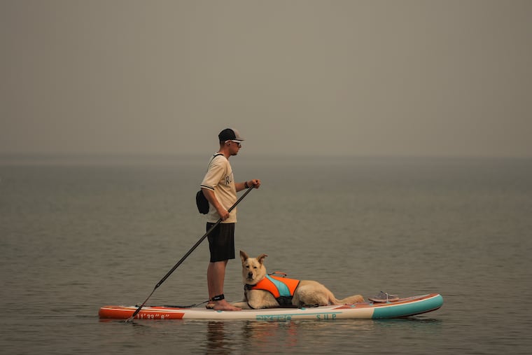
Amid a summer marked by hazy skies in parts of the country, there is currently less wildfire smoke blowing across the United States and Canada compared to recent weeks.
In Oregon and Washington state, where much of the smoke has originated, 51 active fires had burned through 2.52 million acres as of Tuesday - down from a peak of 2.83 million acres on Aug. 12. Although skies are still smoky across portions of the Pacific Northwest and northern Rockies, not much is blowing east of there.
But this lull in smoke coverage and slight decrease in fire activity could be short-lived.
“We already have the most active fire season in recorded history for the Pacific Northwest,” climate scientist Daniel Swain said in a live stream broadcast Tuesday.
From Thursday into the weekend, a disturbance from the Pacific Ocean is forecast to track toward and across Oregon and Washington state as well as British Columbia and Alberta in Canada, leading to stronger winds and the potential for dry lightning.
“We’re expecting an increase in fire risk in the Pacific Northwest as we get another heat wave followed by yet more dry lightning. So, unfortunately that isn’t the most favorable pattern for the Pacific Northwest,” Swain said.
In the United States and Canada, national wildland fire-preparedness levels remained at 5 — the highest on the scale — which indicates national firefighting resources are in high use and emergency measures may be needed to sustain operations.
How bad this fire season has been
So far this year, nearly 7.3 million acres of land have burned across the United States. That’s about 36 percent higher than the annual average between 1983 and 2025.
In Canada, about 10.2 million acres have now burned, roughly 46 percent higher than the 25-year average.
And since July, about 26 percent of the Northern Hemisphere land area — covering around 10.3 million square miles — has at some point experienced moderate or greater concentrations of black carbon, the soot particles released by wildfires.
Across the Pacific Northwest, weather from late August into September looks drier than normal and occasionally windy.
The Post’s El Niño tracker shows that this region may experience extremely dry conditions into the fall, suggesting that the period of heightened wildfire risk — and the potential for widespread smoke blowing across the U.S. — is far from over.
» READ MORE: Fire weather risk on Saturday
» READ MORE: Annual wildland acres burned in the United States