Philly’s longest stretch in a century without a 100-degree day could end this week
The heat is due to endure into the weekend, and after a short break, more heat is possible at the end of the month into July.
One powerful hint that the atmosphere is about to turn up the thermostat was evident on Tuesday morning, on what was forecast to become the first day of the first heat wave of 2024.
The official temperature at Philadelphia International Airport reached 84 degrees before lunchtime — a good hour before the sun had reached its maximum height. That’s the “normal” high for a June 18, and by day’s end it had reached 90.
Normal will be on the back burner for the next several days, and Tuesday may well have been the coolest day for the rest of the week. Daily records are in jeopardy, and that elusive 100-degree mark is still in play. Fittingly, the best chance of that occurring would be Friday, the first full day of the astronomical summer, which arrives at 4:50 p.m. Thursday.
If it does hit 100, “we wouldn’t be shocked by it,” said Tom Kines, a senior meteorologist with AccuWeather Inc.
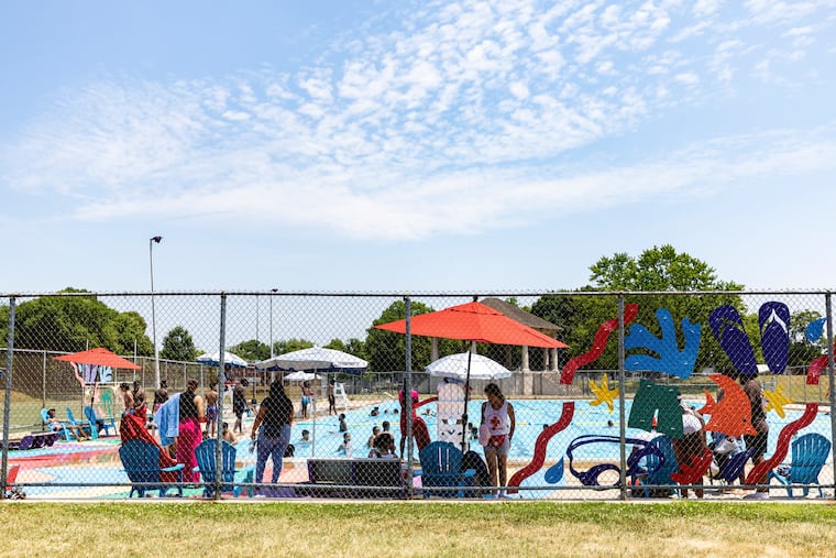
The National Weather Service has a “heat advisory” in effect, more or less the common-sense phase of the alert system through Wednesday, advising people to “drink plenty of fluids, stay in an air-conditioned room, stay out of the sun, and check up on relatives and neighbors.” It would upgrade that to a more-serious “heat warning” later in the week if conditions merit.
Heat indexes — the combination of heat and humidity — are expected to reach 105 on Friday.
One wrinkle in the forecast would be the approach of a “back-door front,” one that moves north-to-south, said Sarah Johnson, the warning coordination meteorologist at the weather service office in Mount Holly. She said the front offered an outside chance of showers Friday and Saturday.
The heat wave is expected to at least rival the duration of the seven-day spell that cooked Labor Day weekend in September. Then a modest break is possible.
But government and private forecasters advise that if this week conforms to your taste in weather, you may well get a second helping at the end of the month on into July. NOAA’s Climate Prediction Center has the chances strongly favoring above-normal temperatures here and in much of the nation through July 2.
What’s happening overhead
If the air feels especially oppressive the next few days, that would be understandable. In the upper atmosphere, the center of the dome of heat-building, rain-repelling high pressure, or heavier air, is forecast to park more or less overhead, meteorologists said.
The days are forecast to become progressively more uncomfortable with temperatures rising and the air mass becoming more sultry day by day, despite the lack of rain. And it has been getting stickier around here in recent years with atmospheric moisture levels rising as the planet has warmed.
Humidity can build around here even on dry ground, with the Atlantic Ocean and the Delaware and Chesapeake Bays nearby to manufacture generous supplies of water vapor. The body cools itself by producing sweat that gives off cooling effects when it evaporates. If the air is too moist, sweat sticks to the skin.
The fact that the ground is so cracked and dry may give temperatures a boost.
» READ MORE: Philly summers are getting — and staying — hotter
The elusive 100
“If the ground is wetter than normal, it’s not going to get as hot,” said Kines’ colleague, Dave Dombek. The more energy the sun spends on evaporating puddles and zapping water droplets from the leaves, the less energy it has left to cook the surface. Under this week’s conditions, the sun can bake away.
That said, a 100-degree reading — which would be the first in 12 years — is not a lock. “Everything has to be perfect,” said Kines. The air may be holding enough moisture to keep it from happening. Plus the official thermometer is located near a body of water, the Delaware River, and a swamp.
On average, 100-degree readings have occurred roughly every four years. This has been Philadelphia’s longest stretch without a 100-degree reading in over a century.
Triple-digit temperatures are more prone to happen in drier areas. Sarah Johnson, warning coordination meteorologist at the weather service office in Mount Holly, noted that North Dakota, where she used to live, experienced more extreme temperatures that Philly.
Philadelphia’s all-time high, 106 degrees, recorded on Aug. 7, 1918, was 10 degrees lower than the record high in Fargo.
Philly did have a relative harvest of 100-plus readings during the blistering 1990s summers. The temperature reached 100 seven times, including on three consecutive days in July 1993, the city’s deadliest summer on record.
Fortunately, heat-related mortality has dropped dramatically in Philadelphia. According to Health Department figures, 10 times more deaths were reported in the 1990s than in the last 10 years.
”There’s so much more attention to these events now than there had been, and the forecasting is a lot better, that the potential impacts are better known,” said Kent State University’s Scott Sheridan, a heat-health expert.
NOAA and the Centers for Disease Control and Prevention have praised the city the local weather service office’s aggressive heat response programs in the 1990s with saving lives and declared that they were models for other cities.
Gary Szatkowski, who was in charge of the weather service back then and is now retired, said he is certain that they were factors in reducing heat-related deaths.