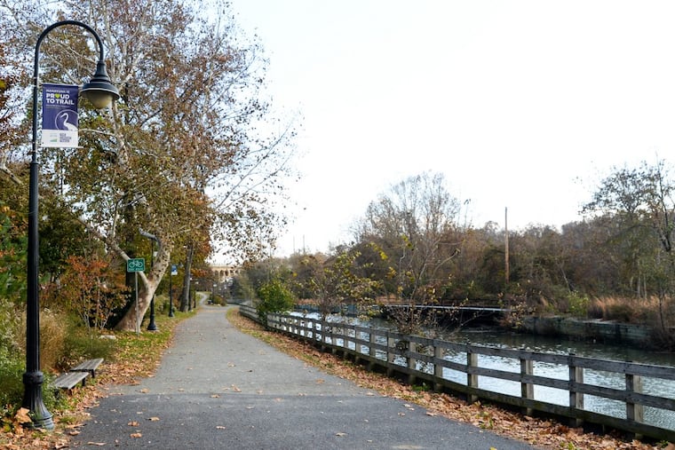
Section of Schuylkill River Trail that has been closed for months is reopening
A section of the trail closed in September for work on the Manayunk canal restoration. The reopening of the trail has been delayed because of construction work.

A section of the Schuylkill River Trail near the Manayunk Canal that has been closed since September will reopen on Saturday.
The trail closed to allow for work on the Flat Rock Dam Betterment project that aims to reconnect the Manayunk Canal with the Schuylkill.
The section of the trail was expected to close for approximately four months but the timeline was extended in January to complete concrete work that was delayed due to the “site conditions,” according to the project website. The restoration work required pouring concrete before the weather got too cold, The Inquirer reported in September, at the time of the trail closure.
The closed trail section is between Shawmont Avenue and Nixon Street on one end, and Leverington Avenue on the Manayunk Towpath on the other. A detour along Umbria Street has been open to pedestrians and bikers during the closure.
Work on the Flat Rock Dam Betterment project began in the spring of 2022, and is intended to improve the water quality in the area. The restoration project, spearheaded by the Philadelphia Water Department, is expected to be completed this fall.
Elements of the project include building new structures that connect the waterways and improving some existing structures. The project also includes implementing a new system that will control the flow of water into the canal, and adding educational signage.
Planning discussions for the Flat Rock Dam Betterment project began in the 1990s.
When the project is completed, flowing water will pass through the Manayunk Canal for the first time in decades. In the 1940s the canal closed to navigation. A lack of water flow has created unfavorable water conditions, impacting the habitat and creating seasonal odors, according to the PWD.
The restoration project is part of Philadelphia’s efforts to meet federal Clean Water Act standards, as well as to protect drinking water sources for the city. The project also has historical significance, as the locks, dam and canal in the area are the last remaining complete section of the Schuylkill Navigation system built in the early 1800s to tame the Schuylkill and allow boats to transport coal.