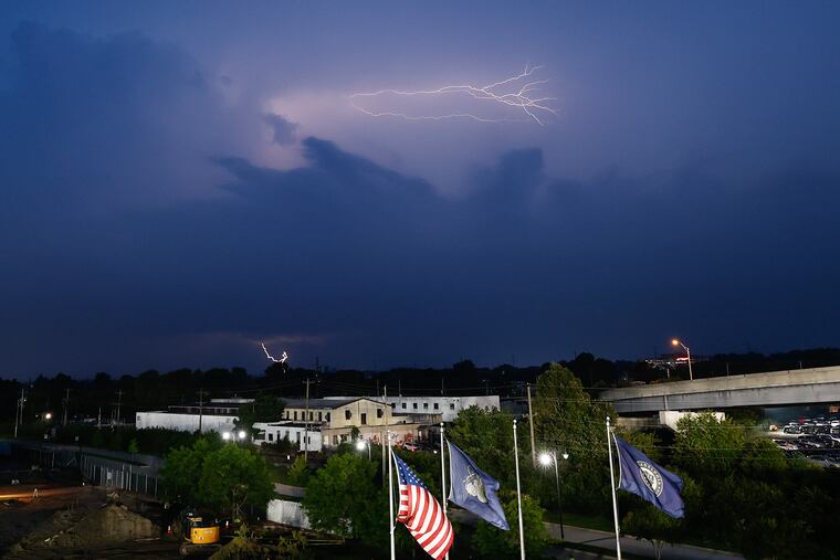
The boom times for thunderstorms in the Philly region are about to go on pause
Thunderstorms have been observed in 20 of the last 37 days. Normally they occur in 28 days during an entire year.

If you sense that you’ve been hearing an inordinate amount of thunder lately, the National Weather Service affirms that you have not been hallucinating.
“We certainly have been in an active period,” said Johnson, the warning coordination meteorologist at the National Weather Service Office in Mount Holly. “We are way above normal.”
Officially, lightning and thunder have been reported in the vicinity of the airport in 20 of the last 37 days days. The average for an entire year is 28.
Yet another round of potent storms prowled through the region Saturday, prompting 14 severe-thunderstorm warnings, she said.
So far this year, the Mount Holly office, whose turf includes all of Delaware and most of eastern Pennsylvania and New Jersey, has issued 266 such warnings, she said, the most since 2019 — despite the fact that it didn’t issue a single one in May.
That’s the first time that’s happened since the office moved from Philadelphia to Mount Holly in 1994.
No deaths, injuries, or major disruptions were reported on Saturday, as the storms generated waterfall-level rains but moved through quite quickly, unlike some of the stalled or “training” thunderstorms of earlier in the month, including the one that tragically claimed seven lives in Bucks County.
» READ MORE: It's been way muggier than this, but the trends are concerning
The official airport rainfall total, about 5.25 inches, is more than an inch above normal, and rainfall in the city’s neighboring Pennsylvania counties has been significantly above normals during the last 30 days, based on data from the Middle Atlantic River Forecast Center.
» READ MORE: In the Bucks County area where flood tragedy struck, residents worry about what's next
But speaking to the abject capriciousness of summer rains, outside of the airport, rain citywide has been below average according to the river center, which calculates countywide totals using a sample of stations. It also has been less than normal in Camden and Burlington Counties.
In any event, the storm traffic is about to go on break.
The Saturday storms were associated with a strong cold front approaching the region that was expected to broom away the oppressive mugginess of the last three days.
Sunday, Monday, Tuesday, and Wednesday are all due to be splendid days with sun and highs in the 80s followed by sleep-able nights that may be cool enough to silence the air-conditioners.