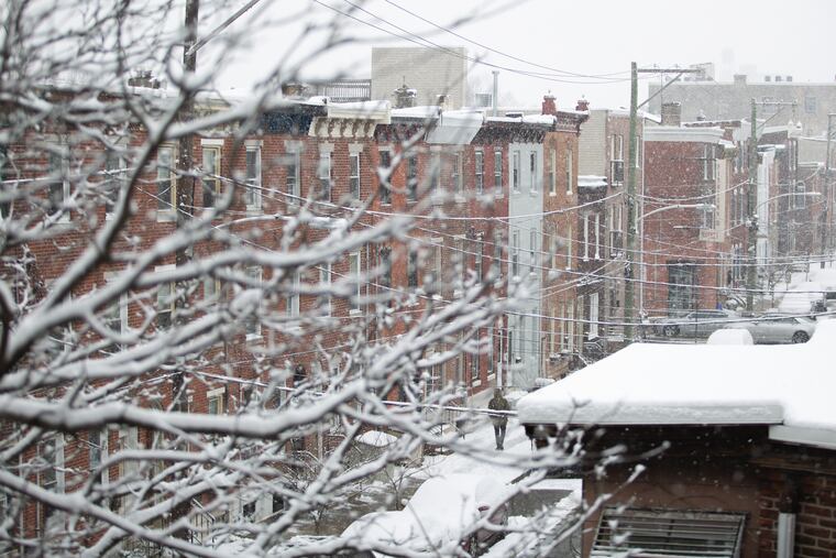
Winter forecast has mild outlook for Philly and most of the nation, continuing warming trend
The trends suggest warmth, but the atmosphere has been stingy with clues and had a good laugh at last winter's outlooks.

Oscillations. Teleconnections. Dynamical computer models. All those were on the table, but in producing a winter outlook that favors a mild winter in Philadelphia and much of the nation, government meteorologists relied heavily on a basic axiom: The trend is your friend.
In the forecasts released Thursday by the government’s Climate Prediction Center, the Philadelphia region also was favored to see above-normal precipitation for the December-through-February period, the meteorological winter. That, too, was based partly on trends.
Climate center researcher Jon Gottschalck cautioned that the probabilities are on the low side for the simple reason that, right now, clues are wanting. The government outlooks also eschew specific snow and specific temperature predictions that appear in forecasts by media and private companies.
Winters have trended warmer in the contiguous United States, tracking with worldwide warming, although the warming hasn’t been uniform or continuous in the last 15 years, the forecasters said.
As for precipitation, some parts of the country have seen a “pretty strong signal for enhanced precipitation” in the last five to 10 years, which was a factor in the outlooks, Gottschalck said.
But other hints of what is to come between now and spring have been elusive. The tropical Pacific, where unusually warm or cool sea-surface temperature can have a significant effect on the U.S. winter, has been no help at all. Water temperatures out that way are about where they should be.
Mike Halpert, the climate center’s acting director, noted that shorter-term phenomena, such as the Arctic Oscillation, or AO, ultimately will drive the winter. When the AO is positive, strong winds circle the North Pole, confining the cold; when it is negative, the weaker winds let the cold leak south.
» READ MORE: Buying winter clothes should be an investment
Halpert noted in a briefing that the 2018-19 climate center winter forecast missed the marks, and Gottschalck said a big reason for that was that the AO stayed positive throughout the winter.
The climate center’s forecast wasn’t the only one that was off-target. Several outlooks had called for quite a snowy winter around here, and that didn’t come close to happening. The seasonal snowfall total, 17.1 inches, was only about 75 percent of normal, and only 13.5 inches fell after Dec. 1.
Seasonal forecasting is a sometimes-humbling work in progress. The AO’s behavior isn’t reliably predictable beyond seven to 10 days. The dynamical models that have had such success with short-term forecasting have “limited” value in seasonal outlooks, Gottschalck said.
The models tend to disagree on solutions for a given season, especially for the volatile Mid-Atlantic and Northeast winters, he said. “We only use them when they’re consistent.”
The climate center researchers say that the government outlooks are “probabilistic" — that is, sticking to percent chances of above or below normal for temperatures and precipitation — for the simple reason that they stay within the bounds of the limits of science.
“It’s not an exciting forecast,” said Gottschalck, but if others have reliable tools and methods, “we’d love to use them.”