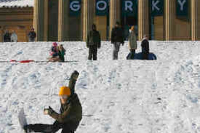
A winter's worth of snow, before winter
It is not unusual for Philadelphia to receive close to two feet of snow. Usually, though, it takes about three or four months.

It is not unusual for Philadelphia to receive close to two feet of snow. Usually, though, it takes about three or four months.
The 22.5 inches measured in a single day Saturday at Philadelphia International Airport guaranteed that the snowfall total for the winter of 2009-10 would surpass the city's annual average, about 20.
The storm marked the first time Philadelphia had received a season's worth of snow before winter actually started. Officially, it arrives at 12:47 p.m. today.
For good measure, Sunday-morning leftovers added 0.8 inches, bringing the final total to 23.2, but by then it already had become the second-biggest storm in the period of record, dating to 1884, nudging out the 21.3 inches that fell Feb. 11-12, 1983. Number one on the list is still the storm of Jan. 7-8, 1996, which dumped 30.7 inches on the region.
Not to be inched out, Tabernacle, Atco, and Swedesboro - in the newly crowned snow capitals of Burlington, Camden, and Gloucester Counties, respectively - all weighed in with two feet or a tad more. The totals were less to the north, but still substantial; about 10 inches was reported in both Morrisville and Perkasie, Bucks County.
"We have pretty well assured ourselves of a white Christmas," said Anthony Gigi, a meteorologist at the National Weather Service.
Note the pretty well. A storm due late Christmas Eve right now looks to be mostly wet, but the dense and widespread snow cover has the potential to cause serious problems for travelers - and the forecasts. And yet another threat may be on the horizon for New Year's.
What is a lock is that in terms of weather, the region is experiencing a historic December.
Perhaps in another time, snow days were enchanted by the tranquil sounds of sleigh and harness bells, but these days, they have been replaced by the scrapes of shovels and the roars of snowblower motors.
And based on what meteorologists are seeing over the tropical Pacific and the North Atlantic, those sounds may become ever more familiar in the weeks ahead.
Surface waters in the Pacific from the International Dateline to the Central American coast are unusually warm, the well-known El Niño phenomenon, which occurs every few years. Right now, it is the strongest one in more than a decade. The heat energy has generated strong upper-air winds that have juiced up storm traffic across the United States. Several El Niño-jolted storms already have formed in the Gulf of Mexico and made the pivotal turns up the East Coast, becoming nor'easters. The El Niño is expected to persist through the winter.
Meanwhile, in recent weeks, areas of higher air pressure, or heavier air, near Greenland have helped keep cold air over the Eastern United States. That pattern, more volatile and difficult to forecast, is expected to continue at least for the next several days.
Those macro forces, however, aren't much help in nailing the details of individual storms, as the weekend showed. Early last week, the computer models that meteorologists use foresaw a possible nor'easter, but as recently as Wednesday, it appeared that it would head out to sea, snubbing Philadelphia. All that had changed by Thursday, and forecasts became progressively more menacing.
Computer models rely on the quality of data they ingest. When the storm was still out over the Pacific, the models were having trouble figuring it out because observations over the ocean are so sparse, said John Ford, a private meteorologist in Massachusetts, who was among the first to pick up on the storm's potential. Once it reached the Pacific Northwest later in the week, he said, the observations got better, and the models smarter.
Given the limits of observations, some uncertainty and surprises are inevitable.
"You'd have to sample every quantum moment of every molecule in the atmosphere," said Ford.
In the case of the weekend snows, the amounts ended up even higher than the high expectations in the immediate Philadelphia area, due to smaller-scale features, all but impossible to predict. Some areas in South Jersey saw rapid accumulations from rare "thunder-snow," the wintry equivalent of summer thunderstorms. Narrow, heavy-snow bands set up in parts of Chester and Delaware County, bumping up the totals.
Almost certainly, the forecasts were better than they were for the blizzard of Dec. 25-26, 1909, the erstwhile December champ.
Several people died in that one, including one man who fell asleep on a stranded trolley and inexplicably went unnoticed. The detailed records kept by Pennsylvania Hospital indicate that snow was not in the forecast, said Stacey C. Peeples, the archivist. About 21 inches, weighing roughly 10 trillion tons, fell on the city.
Nothing like that is expected this Christmas. This time, it appears that the region will be on the warm side of a storm that could end up erasing a significant portion of the snow cover. But it's only Monday, and the forecast is likely to be a challenging one, said Louis Uccellini, who runs the government's National Centers for Environmental Prediction.
Since snow refrigerates the overlying air, the precipitation could well start as snow or ice, and put up some resistance to the changeover to plain rain, forecasters said.
Said Gigi: "It's going to get tougher to dislodge the cold air."
Keep the scrapers handy.
White Christmas?
In any given year, the odds are about
9-1 against it in Philadelphia, but the underdog might have
its day this year.
The federal government defines "white Christmas" as "a snow depth of 1 inch observed on Dec. 25." Temperatures are predicted to be no higher than the 30s all week, and even if it rains Thursday night, chances are good that enough snow should survive to qualify.
EndText