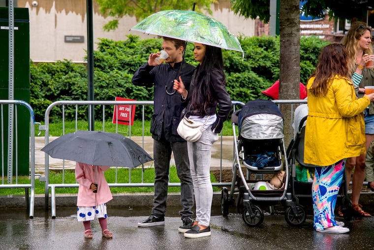
Rain in forecast for Saturday, Sunday, and here’s why this is happening every weekend in Philly
And it looks like it will rain again this weekend.

Like the people who depend on it for survival, the atmosphere does tend to get into ruts, and right now it's in a quite annoying one.
Rainfall was 160 percent to 200 percent of normal for the last month throughout the region, according to the National Weather Service, but even more unusual than the totals has been the unfortunate timing of the rain events.
Showers once again are mentioned in the forecasts for Saturday and Sunday, with the weather service saying another decent soaking is possible. The Storm Prediction Center on Thursday placed Delaware and extreme South Jersey in the "marginal risk" zone for severe storms.
If the forecasts work out — and it's OK to root against them — it would be the region's seventh straight wet weekend. Officially, 6.37 inches of rain have been measured at Philadelphia International Airport since May 12 — and 4.81 of that, or 75 percent, has fallen on either a Saturday or a Sunday.
(Here are the PHL totals for Saturdays and Sundays beginning with the last weekend in April: on April 28, 0.14 inches; April 29, 0.15 inches; May 5, trace; May 6, trace; May 12, 1.49; May 13, 0.49; May 19, 0.74; May 20, 0.01; May 26, 0.85; May 27, 0.08; June 2, 0.25; June 3, 0.61 inches.)
Why is this happening?
It's a function of the spacing between the systems as they move across the country on winds aloft from the northwest, said Paul Walker, a meteorologist with AccuWeather Inc., and other factors.
The systems have been arriving in 3- to 3½-day intervals, which almost guarantees some of the rain will fall on the weekend. And we should note that the latest forecast calls for more showers at midweek, which — if the pattern holds — would point to rain the weekend after.
In June, strong, rain-blocking and heat-pumping high pressure over the Atlantic — the so-called Bermuda high — tends to repel those systems. Right now, however, the Bermuda high is farther south and weaker than usual, and that is allowing the rainy systems to arrive with regularity and impunity.
"There's nothing to stop them," Walker said.
For all that rain, however, flooding has been relatively minor, as the rain has come at those intervals, and this has not been a particularly robust period for renegade thunderstorms.
"It's legitimate systems in the flow pattern," Walker said. No more than 1.5 inches has fallen officially in Philadelphia in any 24-hour period. "We haven't had the downpours that ruin gardens."
Along with saving backyard gardeners money on water bills, the pattern also is yielding energy savings; it has chilled the heat.
It is not clear how long the weekend cycle will persist, but Walker said the pattern shows no sign of relenting.
"There's still more opportunities for rain in June," he said.
And for now, that first serious heat wave isn't in sight.