SEPTA to rethink communications after severe storm rouses commuter fury
SEPTA officials say severe weather has been causing more serious disruptions in recent years.
SEPTA is going to reconsider how it gets information to riders after Wednesday evening’s severe summer storm left public transit in tatters and riders unsure what services were operating.
As the rain flooded tracks and damaged power lines, riders were left trying to interpret information from SEPTA’s app and station arrivals boards that was at times incorrect.
“We may have to think about whether we can really keep those automated systems up during these kinds of events,” said Jeff Knueppel, SEPTA’s general manager.
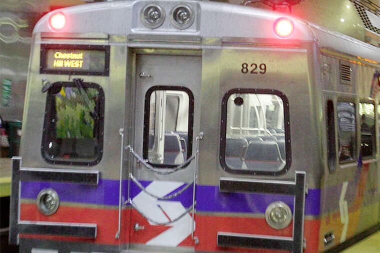
SEPTA vehicles are equipped with devices that relay real-time information used by the app, but 44 trains were canceled during the storms Wednesday, Knueppel said. SEPTA’s real-time technology doesn’t have an automatic way to identify a train as canceled, so staffers have to manually delete information for those trains. The result for riders was confusion.
“We’re going to do a full review of how both the app and the AVPA [Audio and Visual Public Address system] worked with handling all this information,” Knueppel said.
>>READ MORE: Dude, where’s my ride? SEPTA invests in real-time data
The solution will likely include less automation in the station announcements, SEPTA officials said, and more live dispatches. The app, website, and other message boards would likely be less automated, too. They could display more updates produced by a human being, similar to SEPTA’s Twitter feed @SEPTA_SOCIAL, or direct riders to a more reliable source of information. The app’s reliance on automated data resulted in a list of trains all identified as 99 minutes late, which on Wednesday turned out to be a meaningless piece of information.
Nights like Wednesday are becoming more common, Knueppel said.
“Severe weather, it’s getting worse every year,” he said. “I’ve been involved with the infrastructure for 20 years, and across the board, all the records are within those 20 years.”
This has been an especially stormy summer in the region. In July, Philadelphia had 11 “thunderstorm days" — days when thunder was observed at Philadelphia International Airport. That was the most for any July since the 11 days recorded in 2009, and that 2009 figure was the highest number since 1985.
Already this month, Philadelphia has had four.
SEPTA began Wednesday expecting bad weather, but nothing in the forecasts predicted anything as severe as the deluges that struck the region. The storms began in a random, staccato fashion in the afternoon, but just in time for the peak homeward commute.
“It hit at the worst possible time,” Knueppel said. “It started right at rush hour.”
The most ferocious weather struck along and to the west of the I-95 corridor from northern Delaware into Central New Jersey.
By 4:44 p.m., the National Weather Service had issued a flood warning for Philadelphia and parts of the suburban counties. It posted severe thunderstorm warnings covering the same areas at 5:15, 5:30, and 6:15. The storms “trained over the same place for a while,” said Lee Robertson, a meteorologist at the weather service’s Mount Holly office.
The atmosphere already was juiced with high levels of moisture, he said, and then an approaching squall line ignited it. When that line itself came through, “it added more rainfall on top of the other rainfall.”
While the rain lasted four to six hours, it fell fiercely in quick-hitting downpours. Amounts of 3 and 4 inches were reported west of the city, Robertson said.
“The winds aloft were perfect where the storms were blowing up,” said Paul Walker, senior meteorologist at AccuWeather Inc. “That quick, intense rain hitting all that pavement, the water had nowhere to go.”
All that rain meant flooding, and SEPTA’s first signs of troubles came on the suburban trolley Routes 101 and 102. From 4:30 to 8:30 p.m., flooding put Route 102 out of commission.
By 5:30, flooding had struck the Norristown High Speed Line, leading to its shutdown between Wynnewood and 69th Street. About the same time, the Route 101 trolley also succumbed. The power lines for these routes are elevated, but SEPTA automatically shuts down service when portions of the track are under water.
“If the water is over the rail, you cannot be sure you have not had a washout,” Knueppel said.
The storms caused 152 delayed trains on Regional Rail, with the worst of it caused by a fallen tree that snagged power lines near the Fern Rock Transportation Center, a hub for the Warminster, Doylestown, and West Trenton Lines. The tree blocked the path of a southbound train, which temporarily led to the suspension on those lines in both directions.
SEPTA used buses to recover passengers stranded on trains and trolleys.
Meanwhile, SEPTA’s power system was reacting as though a prankster was flicking a switch on and off. Overhead wires would be damaged, and when power came back on, SEPTA’s signal system would fail due to the same power failures that cut electricity to homes in the region. SEPTA is buying solar-powered backup batteries to keep railroad signals running for exactly this situation, but the signals have yet to arrive.
>>READ MORE: SEPTA invests big in solar panels to save money, reduce greenhouse gas pollution
“It was a very frustrating and intermittently changing problem,” Knueppel said.
Power wasn’t fully restored until about 7:30 p.m., and by then, the disruptions were so severe that they rippled throughout the Regional Rail system in the form of late trains for the rest of the night.