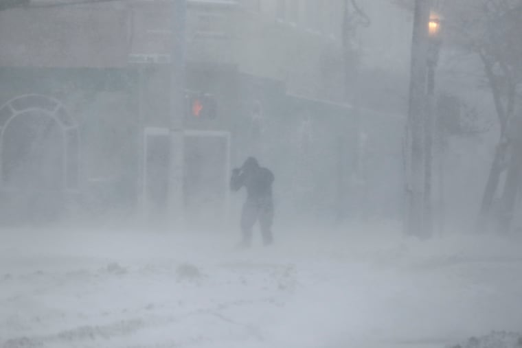
The coming storm might become a ‘bomb cyclone.’ Just what does that mean?
The East Coast happens to be near one of the world's most-favored places for meteorological "bombs."

That coastal storm that could throw back several inches of snow at least on parts of the region could well become a “bomb” cyclone, forecasters say, and that speaks to the fact that the East Coast is situated near a special place on the planet.
Just what is a bomb, meteorologically? The technical description is on the geeky side — a barometric pressure drop of 0.7 inches in a 24-hour period — but basically it’s a term for very rapidly intensifying storm.
» READ MORE: Road brining before winter storms is gaining more traction around Philly and the nation
The term was invoked in a 1980 paper by researchers Frederick Sanders at the Massachusetts Institute of Technology and McGill University’s John Gyakum.
Bombs do happen in the North Atlantic: Sanders and Gyakum determined that two regions of the planet that are ripest for meteorological bombs were the vicinities of the Kuroshio Current, off Japan, and Gulf Stream off the Atlantic Coast.
Those currents are vast repositories of warmer water that conspire with cold air to create the temperature contrasts that drive storms when frigid air slides west to east off landmasses. European settlers learned about this effect the hard way.
Based on diary evidence, they were astounded by the mega-snowstorms they encountered in the colonies. Here they were, hundreds of miles south of the homeland.
» READ MORE: The magic and mystery snow persist.
“London,” observed Puritan firebrand Cotton Mather, “is never so horribly snow’d upon.” Massachusetts Gov. John Winthrop spoke of a storm with snowflakes “the size of shillings.”
Gyakum recalled that Sanders received some blowback from Europeans who objected to the term bomb.
Sanders’ response: What about the term front?