Flood watch up for Philly on Sunday into early Monday, with widespread downpours expected
Some places could see 4 inches or more of rain, the weather service says.
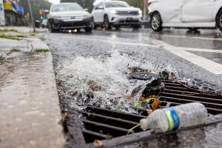
With more of those episodic downpours expected to spread across the region, the National Weather Service has hoisted a flash flood watch, in effect from 2 a.m. Sunday until 2 a.m. Monday.
Isolated amounts of four inches or more are possible, the weather service said.
In addition, with the moon approaching fullness and Hurricane Ernesto agitating the North Atlantic, a coastal flood advisory was up for minor flooding along the tidal Delaware River until 5 a.m. Monday and for the Jersey Shore for Sunday for the six-hour period starting at 6 p.m.
The weather service also was warning of “dangerous rip currents” at the Jersey and Delaware beaches as Ernesto, passing several hundred miles to the east, stirs up those long-period waves.
“There’s probably four- or five-foot waves coming through, and rip currents everywhere,” said Ocean City Beach Patrol Capt. Paul Boardman, with the peak effects expected Sunday.
He added that several beaches were closed, but that was the result of personnel shortages due to college students heading back to school. Otherwise, he urged bathers to stick close to the lifeguard stands.
Showers moved into the region Saturday and were expected to intensify during the early morning hours of Sunday and continue into Sunday evening, said Alex Staarmann, meteorologist at the National Weather Service Office in Mount Holly.
As with the Debby-related rains that inundated some areas with several inches of rain during a four-day period that began Aug. 6, the random downpours will be “boom or bust,” Staarmann said.
But a difference this time would be that “we’re not looking for a major severe-weather event,” he said. “The main threat will be the potential for some flash flooding.”
The weather service sees a general one to three inches with those potentially higher amounts in areas that get creamed by downpours.
The rains are associated with an approaching cold front and are unrelated to Ernesto, he said.
In fact, he said this “crappy weekend” could have been a few magnitudes worse were it not for the fact that the eastward-moving front is helping to keep Ernesto well offshore.