3 Philly records could fall as the heat wave is forecast to pick up steam
Overnight warming is especially hazardous in the city, say health experts, and it's going to accelerate this weekend.
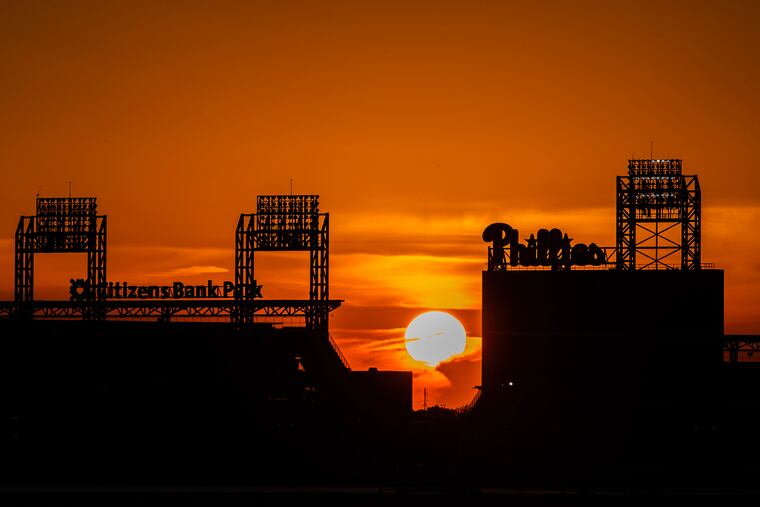
After a surprisingly tepid start, the first heat wave of 2024 is expected to pick up steam, forecasters say, and four Philadelphia temperature records are in jeopardy. Two of them have been on the books for 136 years.
Highs Friday are due to climb into the mid-90s, and then it will get hot hot, said Cameron Wunderlin, meteorologist at the National Weather Service Office in Mount Holly. “We’re not expecting the peak until this weekend,” he said.
The weather service has the entire region under an “excessive heat watch” from 6 a.m. Saturday until 8 p.m. Sunday with heat indexes of 105 possible. Philadelphia has extended its “heat health emergency” through Sunday. Cooling centers will remain open and the Philadelphia Corporation for Aging will be operating the “heatline” from 8 a.m. until 11:59 p.m. Friday, Saturday, and Sunday.
And while the triple-digit indexes and a potential flirtation with 100 degrees are attention-getting, a bigger concern may be what happens — or doesn’t — after sunset, said Ruth McDermott-Levy, a nurse who is an environmental health specialist at Villanova University.
Highs on Saturday and Sunday are forecast to climb well into the 90s, and may make a run at a daily record for a June 23, which is 97, set in 1888. Then, overnight lows in the mid- to upper-70s are forecast for both early Sunday and Monday.
The record-high minimum for a June 23 is 76 degrees, set in 1888. The record for a June 24 is 75.
For heat, the nights are more dangerous than the days in Philadelphia and other cities, health experts warn. The deadliest heat waves on record have targeted the elderly and vulnerable populations in cities that have become “urban heat islands.”
Philly is part of a virtual archipelago of such islands in the Northeast corridor that are venues for sun-absorbing buildings and paved surfaces where heat builds upon heat.
What’s more, data show that Philadelphia has become more sultry, and the increased moisture in the air — what we commonly call “humidity” — has been inhibiting nighttime cooling by preventing daytime heat from radiating into space.
This can have serious health consequences, said McDermott-Levy, “especially in low income communities, ... where they don’t have the tree canopy or air-conditioning.”
She added, “The heat stays in the home, and so our bodies don’t have the time to do their natural cooling that occurs at nighttime. It exhausts the body. That nighttime cooling is when the body heals itself.
“That’s a huge problem.”
» READ MORE: Philly summers are getting hotter, feeling worse, and lacking in relief
Nights have been warming dramatically in Philly
Through Wednesday, low temperatures this month averaged 62.3, about 3.5 degrees above long-term normals, and that number almost certainly will increase before the heat breaks.
The extended outlooks call for temperatures to remain above 70 at least through next Thursday morning.
This is not new. Low temperatures this century are running more than 2.5 degrees higher than they were in the 20th century in Philly.
Between 1941 and 1970, the average summer low temperature was about 64 degrees, and overnight temperatures were most frequently in the 60s.
But in the period from 1991 to 2020, warmer nights got more frequent, and the average summer low rose to about 68 degrees.
Nights above 70 degrees — as recent nights have been — made up just one in five nights in the mid-century period. In recent decades, almost half of nights were that stifling.
Such increases track well with global-warming trends and may be related to the presence of more water vapor in the air. Warmer air can hold more moisture.
When will it break?
Meteorologists say that is a great question.
This hot spell has come with a few surprises, and it appears that the computer models have been missing some subtle features. Temperatures the last three days barely made it to 90, at least a few degrees below what had been forecast.
Also, the air has been a tad more comfortable than expected, for reasons that aren’t entirely clear, said Dave Dombek a senior meteorologist with AccuWeather.
However, that is forecast to change as the warm air will be driven by winds from the south around high pressure off the Atlantic coast that is going to be moist enough to mess with our natural cooling systems. We count on the evaporation of sweat to give off a cooling effect on our skin. Sweat can’t evaporate when the air is full of vapor.
And breaks in the heat have been wanting in recent Philly summers. Day-to-day temperature variability is down, meaning the warmer spells have fewer cool interludes in between. In the last 30 years, the temperatures from day to day, on average, have varied by 4 degrees — compared with 4.8 degrees at the beginning of the last century.
A wild card during the weekend is the threat of showers Saturday and Sunday, and cloud cover could shave a few degrees off the temperatures, he said. A cool front could bring relief come Tuesday, and even if it makes a run at 90 that day, the air should be drier, and, said Dombek, “it’s just going to be more bearable, regardless of where the temperatures settle.”
Staff writer Aseem Shukla contributed to this article.