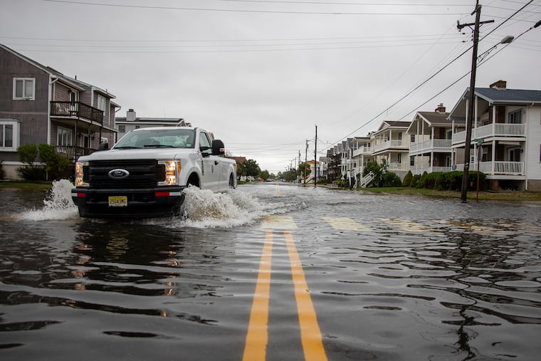
Despite a recent lull, the Atlantic hurricane season is about to experience a serious second wind
Forecasters expect one of the busier seasons on record, but not quite as as active as 2020's.

After a summer break, the 2021 Atlantic hurricane season soon will experience a significant second wind and will end up being one of the busier seasons on record, government forecasters said Wednesday.
The updated outlook by the National Oceanic and Atmospheric Administration was very much in line with updates issued by other forecasters calling for an above-average season, but one not quite in a league with 2020′s, which set a new standard for named tropical storms.
NOAA sees 15 to 21 named storms, those of peak winds of at least 39 mph, forming in the Atlantic Basin, which includes the Caribbean and Gulf of Mexico. Seven to 10 are expected to grow into hurricanes, with winds of 74 mph or more, and three to five will become major, with top winds of 111 mph or higher.
» READ MORE: Feds see yet another active Atlantic hurricane season. The first tropical storm could pop Friday.
The averages for the basin are 14 named storms and seven hurricanes, with three major ones.
Nothing has popped in close to a month, and that could be related to drying Saharan Air Layer in the upper atmosphere, said Matthew Rosencrans, lead seasonal hurricane forecaster at NOAA’s Climate Prediction Center.
But the season already has produced five named storms, with Elsa reaching the hurricane threshold last month. On average, only two tropical storms form by the first week in August, and no hurricanes until Aug. 11.
» READ MORE: Two tornadoes confirmed in South Jersey as part of Tropical Storm Elsa’s visit
Elsa a ‘harbinger’?
Elsa’s formation in the tropics so early in the season might be “a harbinger of a very active season,” said Colorado State University researcher Philip Klotzbach, a protégé of the late William Gray, a pioneer in long-range hurricane forecasting.
Rosencrans concurred, saying that the precocious development suggested that the basin was primed for hurricane activity.
Klotzbach pointed out that the six other seasons in which an early-season hurricane formed in the tropics, including 2020′s, were “hyperactive.” Last year’s 30 named storms set a record, with the caveat that observation and detection methods have improved dramatically in recent years.
» READ MORE: Isaias leaves destruction and thousands in Philly region without power: ‘The worst ... is yet to come’
Other factors arguing for a busy season include above-average sea surface temperatures in the Atlantic — although not as toasty as last year’s — along with an active African monsoon season and limited vertical wind shear that could rip apart incipient storms.
He added that an overarching consideration is the continuation of the warm phase of the “Atlantic Multi-Decadal Oscillation,” which has favored active hurricane seasons since 1995. Those phases historically have lasted 25 to 40 years.
Climate change?
Worldwide warming has been having some effects on hurricanes and their impacts, Rosencrans said.
It has made storms a tad juicier, increasing precipitation levels by about 3%, he said, adding that it has also bumped up the winds by about 10%, leading to more Category 4 and 5 storms.
In addition, rising water levels would increase flooding risks.
The Atlantic season typically gets cooking in mid-August and crests around Sept. 10, according to the National Hurricane Center.