Arthur, the first named tropical storm of an expectedly busy hurricane season, forms off Fla.
A warmer tropical Atlantic and cooler tropical Pacific might conspire for an active hurricane season.
With its 11 p.m. update Saturday, the National Hurricane Center announced that Tropical Storm Arthur had formed off the Florida, the first named storm of what forecasters are saying — with a high degree of confidence — will be quite a busy hurricane season.
The storm center was located about 200 miles east of Cape Canaveral, with peak winds of 40 mph, just 1 mph above the naming threshold. It was expected to move northeast, and tropical-storm advisories were up for the North Carolina coast.
Its impacts on the Jersey Shore were expected to be minimal, although rain is possible Monday and Tuesday.
» READ MORE: Abnormally warm Gulf of Mexico could intensify the upcoming tornado and hurricane seasons
The season in the Atlantic Basin, which includes the Gulf and the Caribbean, doesn’t start officially until June 1, but preseason storms aren’t all that unusual.
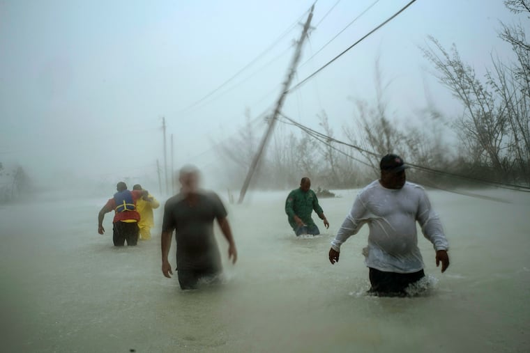
Historically, hurricanes have been the No. 1 driver of national disaster costs. And should the coronavirus crisis linger, that could create potential sheltering complications.
Should Arthur develop, the overwhelming consensus among forecasters is that it will be kicking off yet another active season with above-average numbers of named storms and hurricanes.
The government will issue its outlook next Thursday, and it would be surprising if it isn’t in line with forecasts already issued, since they all look at similar indicators.
Two factors cited in the forecasts are warmer-than-average sea-surface temperatures in the tropical Atlantic, and normal to possibly below-normal temperatures in the tropical Pacific.
Warmer waters in the Pacific can stir up west-to-east shearing winds that in the upper atmosphere can interfere with Atlantic storm development. Cooler waters would unfavorable to the shearing effect.
With 18 named storms, last year marked the fourth-consecutive season of above-average tropical storm activity in the basin, including the massive and destructive Hurricane Dorian, one of the strongest on record.
» READ MORE: Sebastien becomes 18th named storm of the Atlantic hurricane season, most in seven years
On average, 11 named storms form in the basin each season, with six of those becoming hurricanes, with winds of at least 74 mph, and two major hurricanes, with winds of 111 mph or better.
Four major forecasts issued so far go substantially beyond those numbers:
AccuWeather Inc.: 14 to 18 named tropical storms; seven to nine hurricanes; two to four major hurricanes
Colorado State University: 16 named tropical storms; eight hurricanes; four major hurricanes
WeatherBell Analytics: 14 to 20 named storms; seven to 11 hurricanes; seven to 11 major hurricanes
Weather.com: 18 named storms; nine hurricanes; four major hurricanes