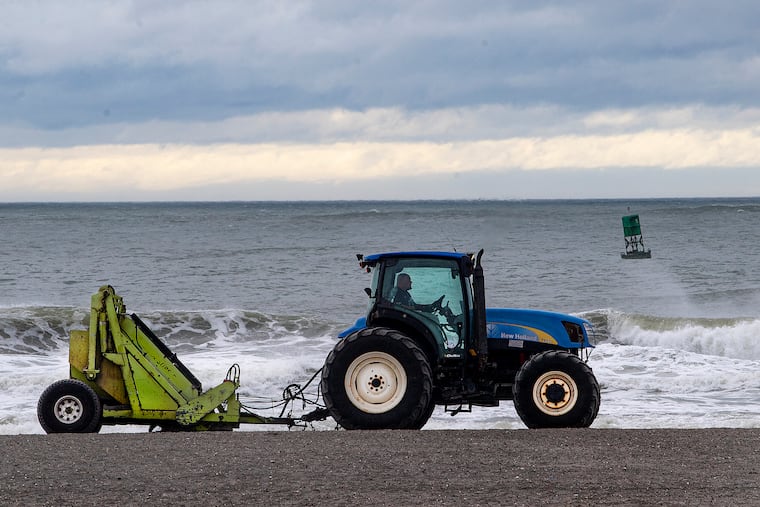
The heat wave is generating cold waves at the Jersey Shore as ocean temperatures take a plunge
Going for a swim? A wet suit wouldn't hurt. An "upwelling" event, driven by heat wave events, is expected to persist through the weekend.

The hot winds that could drive readings to 100 in Philadelphia Sunday are having an opposite effect on the surf at the Jersey Shore, where water temperatures have tumbled.
The surf Saturday morning off Atlantic City was a chilly 58.5 degrees on the official gauge, or a good 18 degrees lower than it was on Tuesday morning, according to the Rutgers University Center for Ocean Observing Leadership. While the reading rebounded to the mid-60s with the daytime sun Saturday, the center’s Michael F. Crowley said the wind forecast favors further cooling.
Blame the heat wave that continues to cook Philly and the rest of the Northeast.
» READ MORE: ‘Abnormally dry’ weather in the Philly region is giving temperatures a boost as city extends heat emergency
An unusually vigorous “upwelling” event was instigated by persistent winds from the south and southwest, the same winds that have orchestrated the season’s longest heat wave in Philadelphia, where temperatures raced into the 90s for a sixth consecutive day Saturday.
The city’s “heat health” emergency remains in effect through Sunday, and the National Weather Service has issued an “excessive heat warning” for both weekend days.
The winds that are the source of the hot air have helped churn the near-shore waters all along the Jersey and Delaware coasts, with cold lower layers routing the warm waters on the surface, Crowley said.
The surf temperatures won’t approach a record — they got as low as 49 degrees during the historically hot summer of 1988, said Jim Eberwine, former marine specialist at the National Weather Service Office in Mount Holly, and now Absecon’s emergency-management coordinator.
» READ MORE: At Jersey Shore, short-staffed beach patrols deal with a heat wave that’s sending more people into the water
The waters are having a welcome cooling effect on the barrier islands, where temperatures were mostly in the 80s at midafternoon Friday, compared with the 90s just a few miles inland. At Harvey Cedars, on Long Beach Island, it was 75, according to the New Jersey State Climatologist site.
Upwelling is a common phenomenon off the Jersey coast, said Crowley, but “I think it hasn’t been this cold in years.”
Steady south to southwest winds — the ones bearing all the heat to the mainland — and Earth’s rotation have combined to displace warm surface waters, Crowley said. Winds parallel or nearly parallel to the coast are the most favorable.
The physics of it all get a bit complicated, but because of the turning of the Earth, the water is deflected at a 90-degree angle relative to the wind direction, Crowley said. In this case, the surface waters would be displaced eastward and replaced by the cool lower layers.
Those winds from the south are forecast to continue through Monday, and thus, so is the upwelling, he said.
The cool waters are expected to generate a “corkscrew” sea breeze that should continue to fan the beach towns as far west as the back bays.
But, sorry, Philly, they will come nowhere near the Delaware River.