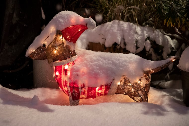
White Christmas is hardly even a dream this year for Philly and much of the nation
The chances are close to zero that Philadelphia will record an inch or more of snow on Christmas morning.

Philly’s odds of meeting the government’s unofficial criterion for a white Christmas — an inch of snow on the ground at Philadelphia International Airport at 7 a.m. Dec. 25 — are minimal on almost any given year.
This year is a little different, say meteorologists. The chances are close to zero.
You might have a better shot at spotting a flying reindeer Christmas Eve than seeing snow on the ground or in the air on Dec. 25 in the Philadelphia region.
» READ MORE: Philly's record snow-deprivation streak could reach 700 days
“People dreaming of a white Christmas can probably keep dreaming,” said John Feerick, senior meteorologist with AccuWeather Inc.
In fact it will be merely a dream in much of the nation, not only this year but every year. The concept is far more about culture and legend than meteorology. This is not the snow season on the East Coast, and Philly has had a run of warm Decembers, with 16 of them this century finishing with above-average temperatures.
White Christmas, the math
Based on the National Center for Environmental Information’s calculations using data from the 1991-2020 period, on average the probability that the criteria would be met at the official measuring station at PHL is just 9.3%.
In fact, at 10.9%, Center City has a better shot than the airport. Of course, with so many different elevations and levels of development, the Philly region is crawling with microclimate effects that can tilt the odds. For example, the chances in Coatesville are a robust 22.7%, and Mount Holly comes in at 11.9%, right around the national median.
The environmental center analyzed data from 4,500 stations and concluded that only about 1 in 5 of those had chances of 50-50 or better. If you want it bad enough, spend the holidays in Anchorage, where the probability is 100%.
» READ MORE: In a Philly winter, expect anything. For real.
So, why the fascination with Christmas snow?
If you watched enough Christmas movies, you might think it’s 100% across the country, and that likely has a whole lot to do with a poem of questionable authorship written long before the advent of cameras.
Credited to Clement Clarke Moore, the “Account of the Visit of St. Nicholas” was first published in the Troy, N.Y., Sentinel. You probably know it as “‘Twas the Night Before Christmas.” It took some liberties with the Dutch tradition of St. Nicholas’ delivering gifts on his Dec. 6 feast day.
The flying reindeer and sleigh came courtesy of generous poetic license. A sleigh without snow would be like a SEPTA bus without wheels.
In those days, snow at Christmas would have been more common in this country in late December. That was the twilight of the “Little Ice Age,” an era dating to the Renaissance when Europe, northeastern North America, and perhaps other areas of the planet were colder than they are today.
The concept received a mega-jolt with Bing Crosby’s rendering of Irving Berlin’s “White Christmas” in Holiday Inn, released in 1942.
As far-fetched as it may seem, Tin Pan Alley denizen Irving Berlin may well have been acquainted with “sleigh bells ringing in the snow.”
A film shot in 1898, when Berlin would have been about 10, and now in the possession of the Library of Congress, does show horse-drawn sleighs dashing through the snow in Central Park.
The reality
The sun reaches its nadir in the Northern Hemisphere at the solstice, but typically it takes a few weeks for changes in solar radiation to have full impacts on weather.
» READ MORE: So much has changed, but the magic and mystery of snow endure | Book excerpt
Note that the hottest part of summer on average occurs in July, not at the summer solstice.
Most of our big snows are results of coastal storms, which generate winds off the ocean. In December, Atlantic sea-surface temperatures still are in the 40s, so those onshore breezes are prone to import warm air, changing snow to rain.
The snow season around here usually doesn’t get going until mid-January, when the effects of the diminishing solar energy kick in and the waters cool.
On average, the region receives about three inches of snow for the entire month of December.
This year, meteorologists are confident that none of that will be falling on the 24th and 25th.