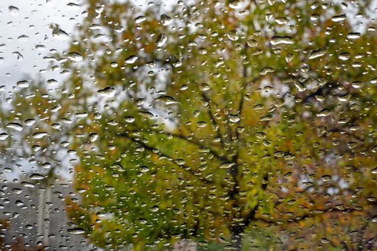
Philly’s record dry spell ends, but the drought watch doesn’t
Some parts of the region received over a half inch of rain.

After six weeks in which nature treated moisture like it was a controlled substance, it has actually rained all over the Philly region.
Officially, 0.31 inches was measured at Philadelphia International Airport, said Joe DeSilva, meteorologist at the National Weather Service Office in Mount Holly, the most since Sept. 7 and the first measurable rain since Sept. 28.
Having gone missing for 42 days, the rain exhibited a certain shyness Sunday, not getting underway for real until after dark in the immediate Philly area, and it was long gone by the time most people woke up on Monday.
More than a half inch was measured unofficially in parts of Chester County, South Jersey, and Delaware — and the very fact that such an unexceptional total would be in any way notable encapsulates just how dry it has been around here. The old record for consecutive days without precipitation in Philly was 29, set way back in 1874. Dry-spell records also were broken in Wilmington and Atlantic City.
Through Saturday, a mere 0.77 inches of rain had fallen in Philly since Aug. 18, with precipitation in the 60-day period before the rain got underway at 4% of normal, according the Middle Atlantic River Forecast Center.
Did anyone see this coming? The government’s Climate Prediction Center had said the odds favored above-normal precipitation in the Northeast in October.
Temporarily, at least, the modest dose of moisture put a damper on the fire danger, DeSilva said, but evidently very temporarily. The weather service warned that a strong front that could generate gusts to 35 mph, along with the drying out of the atmosphere could increase wildfire potentials throughout New Jersey on Tuesday.
And the paltry rain totals didn’t do much to alleviate the ripening drought conditions.
Drought watches remain throughout the region, which is in a state of “severe drought” — and portions of South Jersey closer to the coast in “extreme drought” — according to the interagency U.S. Drought Monitor.
Dryness has been somewhat of a national trend. With its Thursday update, the drought monitor had almost 88% of the contiguous United States as being at least “abnormally dry,” the highest percentage since it began keeping score in 2000. At least the nation was united in something.
DeSilva said the region has an outside shot of rain Thursday, but don’t expect a flood watch: On Monday it appeared that the system in question would stay to the south.
After Philly tied a record for the date with a high of 74 degrees Monday, the rest of he workweek should be dry and sunny, with a noticeable return to more seasonable temperatures the rest of the workweek with highs in the 50s.
NOAA’s Climate Prediction Center did suggest Monday afternoon that a potential pattern shift — timing uncertain — has chances favoring above-normal precipitation during the Nov. 19 to 25 period.
Given the short-term outlook, however, regarding rain it is not a matter of take what we get, said DeSilva, but take what we got.
That said, DeSilva added that a measure of gratitude would be in order: “Anything helps.”