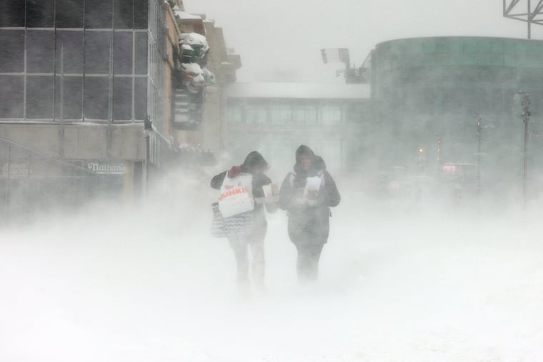
A winter storm will affect the Philly region this weekend, but the city’s record snow-deprivation streak looks safe
The weekend winter storm looks less threatening for Philly. A rainstorm next week could be more disruptive.

A storm on the horizon almost certainly will have a significant impact across the region and is likely to generate concerns among emergency managers.
But that one is coming next week.
As for the winter storm due this weekend, as of late Thursday it was looking wetter and considerably less disruptive for the Philly region than it was earlier in the week, when it entered the public radar as a virtual snow and ice threat.
“The following storm is the one we’re becoming more concerned about,” said Robert Deal, a lead meteorologist at the National Weather Service Office in Mount Holly. Heavy rains, perhaps up to 3 inches on Tuesday and Wednesday, falling upon saturated ground, could result in some troublesome flooding, he said.
» READ MORE: El Niño likely will mean big coastal storms this winter, forecasters say. It might even snow in Philly.
This weekend’s rains likely won’t be as heavy, nor would they fall upon ground quite as water-soaked.
Regarding the weekend snow chances, it is possible that some areas in Philly’s neighboring Pennsylvania counties could see at least minor accumulations Saturday afternoon before the snow turns to liquid, meteorologists say. But the city’s record snow-deprivation streak would not be in trouble.
As of Thursday, Philadelphia has gone 704 days since having officially measured an inch of snow. And that streak should reach 708 on Monday.
“It doesn’t look like we’ll get our first inch this weekend,” said John Feerick, senior meteorologist with Accu-Weather Inc.
Forecasters have all but punted on the inch watch. In fact, based on what meteorologists and computer models were saying Thursday, the Eagles’ winning the Super Bowl likely would be a safer bet than Philly’s seeing an inch of snow this weekend.
The forecast
The precipitation is due to begin early Saturday afternoon as snow in the immediate Philly area, then mix with and change to rain late in the day or after sunset, with temperatures remaining above freezing. Snow may mix in again Sunday morning before it all ends.
The key to accumulation, said the weather service’s Deal, will be how quickly the precipitation advances, versus how aggressively warm air surges across the region.
It is possible that elevated areas away from the city’s urban heat island core — temperatures decrease with height — could see an inch or two before the changeover, forecasters said.
But the rain is likely to dominate around Philadelphia. Cold air remains locked well to the north of the region although it should be available to help generate a significant snowstorm on the interior Northeast.
How come no snow?
This all gets very complicated, but the simplest explanation is that the storm is forecast to take a northerly track along the coast and its wind circulation will import warm air off the ocean.
“We’re sitting on an east wind,” said Deal. On Thursday afternoon, sea-surface temperatures off Atlantic City were in the mid-40s, several degrees above normal.
With a steady onshore wind, significant, accumulating snow wouldn’t have a snowball’s chance around Philly. Deal said that recent computer-model runs foresee some of that warmer air even invading the Poconos, but the forecast still was calling for 6 inches up that way.
The next threat
Precipitation totals during the weekend are expected to be in the 1- to 1.5-inch range. While not catastrophic, those amounts could become problematic next week.
What the weather service is calling “a much stronger storm” is forecast to track toward the Great Lakes, with widespread flooding possible Tuesday through Wednesday. The weather service lists a 100% chance of rain Tuesday night — unusual certainty so far in advance.
The region will be on the warm side of the storm, with highs Tuesday possibly in the 50s, so the smart money says the snowless streak reaches at least 710 days.
Will it ever snow again?
The peak snow season still is a few weeks away, but nothing is in sight, said Deal.
Philly has had a grand total of 13.2 inches of snow the last two winters combined. The seasonal normal is 22.9 inches. The worldwide warming and recent trend of milder winters may well have been factors, but snow-dud winters around here aren’t new.
» READ MORE: As a rule, in Philly winters, expect anything
According to weather service snow records dating to the winter of 1884-85, Philadelphia has had six other cases of back-to-back winters with a combined snow total of fewer than 15 inches. For those rooting for yet another season of snow deprivation, we note that in five of those instances, the snowfall in the following winter was also significantly below normal.
However, the winter of 2013-14 was the notable exception — 68 inches accumulated after two winters whose combined total was 12.3.
A final warming thought for the snow-loathers: The government’s outlook through Jan. 14 has the odds strongly favoring above-normal temperatures in the East.