Snow has snubbed Philly so far. Where does winter go from here?
Wednesday's high, 65, was three degrees short of the Philly record for the date. Temperatures are heading back toward normal, but snow prospects aren't great.

Perhaps fittingly on the day that Earth made its closest annual approach to the sun, Philly made a run at a high-temperature record Wednesday, topping off at a mid-April-like 65 degrees. It hit a record 70 at Atlantic City.
For now the warmth has peaked and a descent toward normality is underway, with highs in the 40s by the weekend, but it may be some time before the region experiences anything remotely similar to that Christmas freeze. And although the typical peak snow season is three weeks away, history and the recent behavior of the atmosphere would argue against winter 2022-23 joining the ranks of the snowiest.
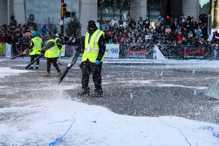
So far, no snow has been measured officially in Philadelphia, and the biggest snowfall to date was that sprinkling of powdered sugar on Dec. 23, featuring drifts up to a coating.
» READ MORE: Winter outlooks were calling for a mild season
Buffalo, no stranger to snow, especially this season, leads Philly for the winter of 2022-23 by 101.6 inches and the margin appears likely to grow.
What’s happening up there
Upper-air patterns over the North Atlantic and Arctic aren’t favorable for cold air pouring into the Eastern United States, said Scott Handel, lead meteorologist at NOAA’s Climate Prediction Center, whose January outlook has most of the country warmer than normal.
The polar vortex, a potent low-pressure system whose powerful winds circle the North Pole 10 to 30 miles into the stratosphere, can be a wild card for the U.S winter. When its winds weaken, frigid air can break loose and ooze southward.
» READ MORE: Even in a warming climate, Philly winters can be snowy
But Handel said Wednesday that the vortex is “in an abnormally strong state.” He added that a disturbance in the high atmosphere might weaken it next week, but it’s “unlikely” that it will dislodge the frigid air.
“Even with the disruption,” he said, it “is forecast to remain anomalously strong.”
Meanwhile the La Niña cooling of tropical waters in the Pacific is likely to continue to influence the U.S. winter. In some winters, La Niña has coincided with keeping cold air to the north of the Philly region. This could be one of those.
Snowless in December
Snow-lovers and ski operators are welcome to skip to the next section.
Among the 138 winters before this one in Philadelphia’s period of record, on 18 occasions no measurable snow had fallen by Jan. 1. In 12 of those seasons, snowfall from Jan. 1 onward was below the normal value for that period, just under 20 inches.
Three of those winters finished in the bottom five for seasonal snow, including 1972-73, the only one in which no snowfall was measurable.
Snow hope
In every other year Philly had at least some snow, however transitory.
Among the six years in which snow was above normal from Jan. 1 on despite a snowless December, 1913′s 33.1 inches made that winter the 20th snowiest. All 27.5 inches that fell in 1966 came after Jan. 21.
» READ MORE: In Philly winters, expect anything
And snow can happen without a polar invasion, says Dave Dombek, senior meteorologist with AccuWeather. “You don’t need Arctic air,” he said. “Sometimes you just need it cold enough.”
Winter will be short
It always is, astronomically.
At 11 a.m. Wednesday, Earth made its annual nearest approach to the sun, noted the journal EarthSky. The planet’s orbital path is subtly elliptical and as Earth gets closer to the gravitational pull of the sun, it speeds up slightly.
Since that happens in January, the winter is the shortest season in the Northern Hemisphere, which explains why days are shaved off February. The seasons are all about the angle of Earth’s axis, not distance from the heating source.
Judah Cohen, polar scientist and chief seasonal forecaster at Atmospheric and Environmental Research, believes winters also are becoming shorter meteorologically. “Winters are much more compressed these days,” he says.
As the planet has warmed, Philadelphia’s average total seasonal snowfall, around 23 inches, hasn’t varied much, and actually has increased slightly. Average temperatures have increased, however, and the city hasn’t experienced a reading of zero degrees since 1994. In addition, based on 1991-2020 data, the city averages 13 days a year in which the temperature gets no higher than 32 degrees, down from 17 in the prior 30-year period.
That said, warming has been more robust elsewhere, including New England and the Southeast, said the climate center’s Haddon. As for Philadelphia, he said, “Temperature trends during the last 15 years are not particularly strong for Philadelphia specifically.”
Climate change notwithstanding, Cohen is confident that the I-95 corridor will see snow at some point before this winter ends.
“This pattern of a complete snow shutout can’t go on much longer,” he said.
“Back in 2020, I was already calling winter over at this time in January.” He was right: That season, Philly’s total snowfall was 0.3 inches. Winters, however, never replicate.
“I don’t think that this is 2020,” he said.