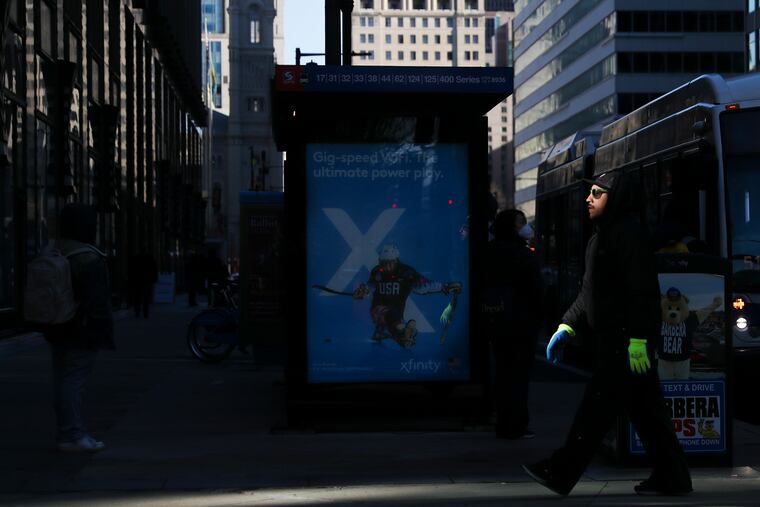
Winter storm warning issued for Philly, with blizzard conditions forecast for the Shore
Potentially significant snow totals are forecast for parts of the region, particularly the New Jersey coast, but exactly how much the immediate Philadelphia area might get remains uncertain.

A winter storm watch for potentially significant snow has been upgraded to a winter storm warning for most of the Philadelphia region, while the Jersey Shore was under a warning for blizzard conditions and could see up to 18 inches near the coast.
Officially, the weather service was calling for 6 to 8 inches in the immediate Philadelphia area. The Jersey Shore is forecasted to be walloped by snow Friday night into Saturday morning, with as much as 18 inches expected in Atlantic City.
Initially, forecasters cautioned that almost any outcome was possible, and whatever happens, areas just to the west of the heavier snow shield might well be shut out. The Shore, on the other hand, could get clocked, forecasters said.
» READ MORE: In Philly winters, anything is possible
Light snow began to fall Friday morning, but was not part of the heavier snow expected to start falling Friday night, said Patrick O’Hara, meteorologist with the National Weather Service.
“It will be off and on all day, but really not going to be significant snow although there may be a light accumulation. It’s not the bigger storm,” he said. “It is kind of priming the pump.”
The heavier snow is expected to start falling Friday after dark, going all the way to Saturday afternoon, said O’Hara. As much as 8 inches is expected in the Philadelphia region, he said.
Although the snow might stop by mid-day Saturday, the low temperatures and windchill are enough for O’Hara to recommend staying inside for the day. During the snow Friday night, winds of 10 to 15 miles per hour expected.
But Saturday, there are sustained winds of 20 miles per hour expected, with some gusts between 30 and 35 miles per hour, he said.
“With that kind of wind, windchill is going to be single digits at best,” said O’Hara.
A blizzard warning is about intensity of snow rather than the actual amount. It means snow and blowing snow are expected to reduce visibility to a quarter mile or less for 3 hours or more, along with sustained winds of 35 miles per hour or greater. Conditions also include frequent gusts to 35 miles per hour or higher.
With computer models squabbling with each other the last few days — and even with themselves — their human interpreters cautioned that the term subject to change would be an understatement.
“The model volatility with this system has been something to behold,” Chat Shafer, a lead meteorologist in the Mount Holly office, said in the weather service’s morning discussion. His peers in the commercial sector concurred.
All signs did point to a major coastal storm, perhaps a “bomb cyclone,” blowing up off the Atlantic Coast and that areas closest to the coast would receive the most snow. It appeared that the heftiest accumulations would occur in eastern New England. (The snow could be quite heavy over ocean, but at least it’s well-salted.)
» READ MORE: The coming storm might become a ‘bomb cyclone.’ Just what does that mean?
Snow could continue through most of the day Saturday, said weather service meteorologist Alex Staarmann.
The forecast is particularly challenging since the storm has so many moving parts, said Pydynowski. The main feature was over the Rockies on Thursday morning and had not yet been fully sampled by the U.S. network of weather balloons, he said.
What’s more, it had its origins in the Pacific, and observations over the oceans are wanting, said Rick Knabb, veteran meteorologist with the Weather Channel.
» READ MORE: Road brining before winter storms is gaining more traction around Philly and the nation
The system was expected to spawn a significant storm off the Southeast coast that would reach maturity somewhere farther north. Just how far north and east that happened would determine how much snow gets thrown back on the mainland, and how far.
Temperatures Saturday are forecast to get no higher than the mid-20s in the afternoon, with gusts to 30 mph around Philly, and not make it to freezing on Sunday.
Whatever falls, might be short on staying power.
By Wednesday, Groundhog Day, readings are expected to make a run at 50.