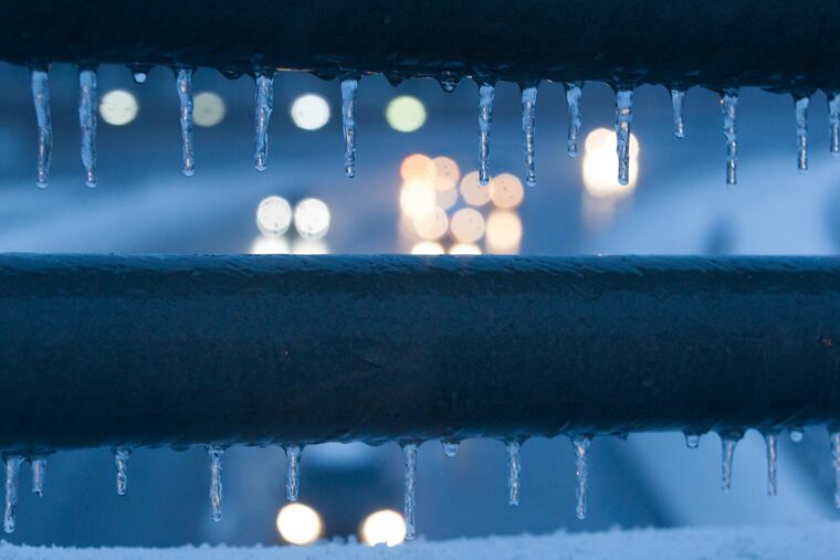
Philly has first official freeze; lowest reading in eight months. Record cold possible next week
While the cold is a sure thing, computer models are still feuding about snow.

Not only did Philadelphia record its first official freezing temperature of the season, the Saturday morning low of 25 flirted with the record for the date, 23, and was the coldest reading since March 8.
Meanwhile, computer models continue to vacillate on whether the region would see its first snowflakes of the 2019-20 season on Tuesday. They have given up on a major snowfall but were holding out the possibility of changeover before rain ends Tuesday night.
However, they were steadfast on the idea that an impressive run of cold is going to chill Philadelphia and much of the nation.
Wednesday has a shot at being the coldest Nov. 13 on record in Philadelphia. The forecast low, 22 degrees, would set a record, and the projected high, 34, would be the lowest maximum temperature for the date. The high for Anchorage, Alaska, that day is expected to be 37.
“It’s a very cold, wintry period we’re getting early this year,” said Jonathan O’Brien, a meteorologist at the National Weather Service office in Mount Holly.
Thermal comfort being relative. We’re not quite used to this.
Friday’s high of 42 degrees was close to the record-low maximum for the date in Philadelphia, 41. With a brisk and biting northwest wind gusting past 25 mph. That’s more like Christmas week than election week.
Winds will die off Friday night and promote the radiational cooling that will have temperatures fall to the mid and upper 20s by daybreak Saturday. It hasn’t been that cold since March.
Areas outside the city already have experienced subfreezing temperatures, but Philadelphia has remained a holdout, at least officially.
» READ MORE: First frost and freezing temperatures invade Philly region; 'heat island’ spares city
That’s due to the “urban heat island” effect — buildings and blacktop are great absorbers and retainers of solar heat — and the peculiar tradition of having the official thermometer at the airport, near a swamp and a major river.
Having the first freezing reading in Philadelphia on Nov. 9 — it reached freezing late Friday night — would be about normal, a little sooner than in recent years. On average, in the 21st Century, the first freezing reading has been recorded on Nov. 14.
That’s a full week later than the long-term average in the period of record dating to 1874 and would track with global trends. However, that average first-freeze date has shown tremendous decadal variability, ranging from Oct. 25 in the 1960s to Nov. 16 in the 1930s.
Typically, the first snows don’t arrive until December, but snow came early last year, and computer models had been hinting strongly all week that snow is possible Tuesday. But they had backed off by Friday morning,
» READ MORE: Surprise! Biggest November snow in three decades snarls region.
The Climate Prediction Center said in its six-to-10-day outlook that a “highly anomalous” trough — an area of lower pressure that favors cold and precipitation — will dominate the upper atmosphere over eastern North America.
As per usual, especially this time of year before winter has established itself in the Northern Hemisphere, conditions on the west side of the continent will be the opposite. For this time of year, it will be quite balmy in Alaska, relatively speaking.
The Philadelphia region might get its turn to bask in relative warmth before the month ends.
In its updated November outlook, posted on Halloween, the climate center said the odds favored below-normal temperatures in the Northeast in the first half of the month, but saw a “monstrous transition in the pattern” for the second half.