What may be next for Philly’s weather patterns as El Niño yields to La Niña
A burgeoning La Niña may have a powerful effect on the tropical storm season, and could be a factor through next winter.

A potential “blockbuster” hurricane season looms, with signs pointing toward “explosive tropical development” in the Atlantic, AccuWeather Inc. warned last week.
Hurricanes? Isn’t this February? Don’t those things usually peak in September?
Yes, and the fact the company would ring those alarm bells now, in what is normally the Northeast’s snowiest month, perhaps speaks to just how uneventful the winter of 2023-24 has been around here, and much of the nation.
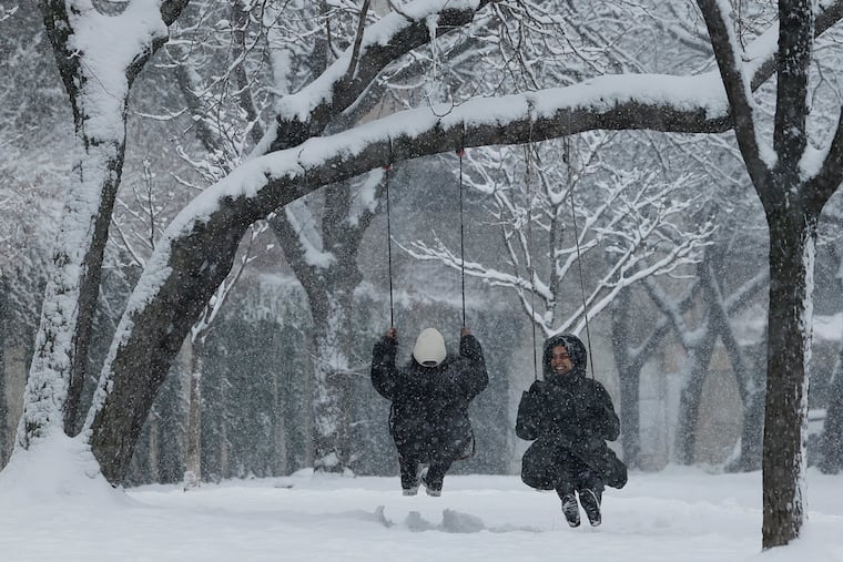
Computer-model visions in the first week of February signaling an enduring change to winter weather turned out to be virtual hallucinations, and the government’s Climate Prediction Center is all in for above-normal warmth at least through the first 10 days in March for the eastern half of the country. Philly’s 11.2 inches of snow so far is about 7 inches below normal.
» READ MORE: Philly has had a couple of weeks of winter, including snow in mid-February
But the atmosphere is about to undergo a sea change, meteorologists say, as the powerful El Niño warming over a vast expanse of the equatorial Pacific, a major player in the U.S. winter, fades. Waters are expected to cool dramatically, and the government’s Climate Prediction Center has posted a “La Niña watch” for a prolonged period of below-normal sea-surface temperatures out that way.
The climate center sees “increasing odds” that La Niña will take hold during the summer.
If that happens, that could result in an active Atlantic tropical storm season, hurricane specialists agree, and it’s likely that the winter of 2024-25 would assume a very different, if not necessarily snowy, character.
As for this one, the three-month meteorological winter in Philadelphia, which ends on Thursday, should crack the top 10 warmest in records dating to 1872, although it won’t challenge the top two — 1931-32 and 1889-1890.
The El Niño ‘fingerprint’
Sea-surface temperatures in the key vast El Niño zone near the International Dateline last week still were running 2.5 to 3 degrees above normal, and its imprint on the U.S. winter has been evident, meteorologists say. The warming heats the overlying west-to-east winds that deliver weather systems to the United States.
While teasing out El Niño’s influence from other factors, including the general global warming trend, would be a “complicated process,” said the climate center’s Dan Collins, “the fingerprint is there.” The warmth and dryness in the north-central states; powerful storms on the California coast; and cooler, wetter conditions in the Southeast are classic El Niño signatures.
» READ MORE: El Niño has been affecting Philly all winter
Outcomes in the Philly region historically have been quite variable, but its impacts this winter were evident, said Paul Pastelok, AccuWeather’s chief seasonal forecaster. “If this El Niño was weaker, it could have been a different outcome,” he said. “We could have had more snow.”
A hallmark of El Niño winters is an overall persistence, as in what happens keeps happening — or not happening.
About La Niña
The same holds for La Niña. You might remember La Niña. The Pacific was in that state for the three winters prior to this one.
The warm and cold phases are part of what is known as the El Niño-Southern Oscillation, or ENSO, which evidently does a lot of oscillating. When the temperatures are near normal, ENSO is said to be “neutral.” Each phase has occurred every three to four years on average.
They can last several months or more than a year, which is why their impacts are so durable. The last La Niña marked the third time since the 1970s that one persisted for three years.
Both warm and cold phases have profound effects on Philadelphia winters. With La Niña, Pastelok said, “Storms may be coming in a different direction, you may see more cold in the pattern, maybe we have less precipitation.”
Then again, while persistence has been a regular feature, it’s hard to find reason in the Philly data, with both the warm and cold phases coinciding with some of the snowiest and snowless winters in the period of record.
For example, La Niña coincided with the winter of 1995-96, when Philly measured 65.5 inches of snow, including a record snowfall. During La Niña last winter, the total was 0.3 inches.
» READ MORE: A 1996 January snowstorm was one for the ages in Philly, 30.7 inches worth.
What is well-cemented, said the climate center’s Collins, is La Niña’s impacts on Atlantic hurricanes.
“La Niña years tend to have a more active Atlantic tropical storm season,” he said. The reason: During El Niño, shearing winds from the west can ambush potential tropical storms before they can ripen. During La Niña, shearing is not an issue.
That could be especially troublesome this season since Atlantic temperatures in the storm-formation zone are at record highs.
Neither Collins nor Philip Klotzbach, hurricane scientist at Colorado State University, long a center of tropical storm research, were quite ready to bite on the “blockbuster” concept.
“Just too much uncertainty at this long lead time to be too confident in a hyperactive season,” said Klotzbach, who will post his outlook in April. “I’ve seen a lot of crazy things happen in the weather department in March.”
Speaking of March
March will have to wait a day for its turn in this leap year.
» READ MORE: Philly did finally break its snow drough this winter. Here's a visual tour
The climate center has odds favoring above-normal temperatures for the whole month, but Philly may get one last shot at snow, said Pastelok.
A disturbance in the upper atmosphere over the Arctic may allow some cold air to spill into the Northeast between March 7 and 15, he said.
“That could help bring a late surge of winter — briefly,” he said. “That’s our window. That’s what’s left.”