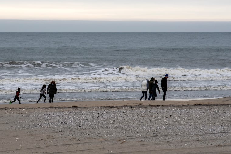
Record chill possible for Philly on Memorial Day weekend; coastal flood advisory for the Shore
Flooding could close some Shore roads early Saturday, with more-serious flooding possible later. Some of Philly's oldest temperature records could fall.

Rain, drizzle, raw winds, potentially record-challenging chill, at least minor “widespread” coastal flooding, a reluctant sun. For what is traditionally the unofficial opening of summer, the forecasts are trending decidedly more autumnal for Memorial Day weekend.
“It’s certainly not looking like a super-pleasant weekend,” said Robert Deal, a meteorologist with the National Weather Service Office in Mount Holly, exhibiting some capacity for understatement.
After as much as 2 inches of rain falls across the Philadelphia region late Friday into early Saturday, clouds and possibly showers are expected to persist through Sunday with the lingering effects of a complex storm that would be more typical of October or November, rather than the springtime hit-or-miss showery events.
A coastal flood advisory in effect from 9 p.m. Friday until 3 a.m. Saturday, with “some partial or full road closures” possible, the weather service said. It added that more-serious flooding was possible during high tides later Saturday. Winds off the ocean are forecast to gust to 30 mph, and the tide-pulling moon will still be at 85% fullness.
This is not quite what the Shore tourism bureaus had in mind.
The signature feature of the weekend will be the chill, said Paul Walker, senior meteorologist with AccuWeather Inc., not exactly ideal for sunbathing or picnicking.
Temperatures in the beach towns and on the mainland will be as much as 20 degrees below normal and struggle to get out of the 50s both Saturday and Sunday, he said, threatening some of Philadelphia’s most venerable temperature records.
The record-low maximum temperature for a May 29 in Philadelphia is 56 degrees, set in 1884, and 59 on May 30, the high on that date in 1918.
» READ MORE: Jersey Shore businesses pray for sun as Memorial Day approaches
Although temperatures might not get past the mid-60s, “Memorial Day will be the best shot at actually dry conditions,” said the weather service’s Deal.
The European forecast model on Thursday was seeing all showers shutting off Sunday evening, although its American counterpart “keeps some showers over the area for a longer period,” the weather service said in its forecast discussion.
The wetness does have a bright side.
It comes in the same week that the inter-agency U.S. Drought Monitor added the entire region to its “abnormally dry” designation. “Soil moisture has ... begun to rapidly decline,” it said.
The designation wasn’t surprising given that Philadelphia officially measured just 0.69 inches of rain in the first 25 days of May.
» READ MORE: Dryness in the Philly region is a growing concern, but it has perks for farmers — and for strawberry lovers
But between 10 and 11 p.m. Wednesday, 0.68 inches fell into the rain gauge at Philadelphia International Airport, a climax to a wild night of convective thunderstorms, tree-downing gusts, downpours, and strobe lightning.
Deal said the lightning was so vivid and persistent that it kept him awake, an untimely development given that he had to get up at 6 a.m. for his Thursday shift.
“I like nocturnal convection,” he said, “but we’d prefer it on a different night.”