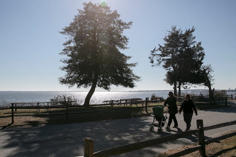
It’ll be nearly 60 degrees on Friday and Saturday in Philly, but snow chances are still in play for Super Bowl Sunday
February is the shortest month, but makes a case for having the most volatile weather.

March has a well-earned reputation, but the data argue for February being the most volatile weather month of the year in the Philadelphia region, and it evidently is going to press its case over the next several days.
The forecasts for the Philadelphia region have a somewhat surreal quality — highs near 60 Friday and Saturday, followed by a a modest snow threat, although probably not scary enough to touch off panic candy shopping.
Temperatures likely won’t get out of the 20s Monday, but a major warmup is expected by mid week, and that might have some staying power.
As for the snow, the National Weather Service is calling for about an inch in the Philly area on Sunday, with an outside shot at 2 inches.
Officially, it reached 58 at Philadelphia International Airport Thursday afternoon, 15 degrees above normal for a Feb. 10 and about average for the first week of the astronomical spring, which begins March 20.
Perhaps the groundhog, who called for six more weeks of winter, is about as reliable as a long-range computer model.
» READ MORE: In Philly winters, expect anything.
Winterphobes can relax, says Jon Gottschalck, chief of the Operational Prediction Branch at the government’s Climate Prediction Center. The center has the odds strongly favoring above-normal temperatures through Feb. 23, and when the accounts are settled, he said, the month should end up having been warmer than normal, he said. Already, February temperatures in Philly are running 3 degrees above normal.
Not that normality is the norm for the shortest month of the year.
About February
On Feb. 9, 1934, the official temperature in Philadelphia fell to 11 below zero — that’s Fahrenheit — the lowest reading ever in the city. Four years earlier, on Feb. 25, it had gone up to 79. That would be 90 degrees of separation, something that not even March could match. March’s all-time high is 87 degrees, the low, 5.
February is Philadelphia’s snowiest month on average as the upper air has chilled to winter maturity and Atlantic sea-surface temperatures remain cool.
» READ MORE: February 2010 was one amazingly snowy time.
The temperature contrasts that drive storms can be quite potent in February as the sun is rapidly gaining wattage, and by the end of the month will be 80% stronger than it was at the winter solstice, with days lengthening by an hour and five minutes from the first to the 28th.
About this winter
On the weekend that it is hosting the Super Bowl, the Los Angeles area is enduring an impressive warm spell, and temperatures on Sunday are forecast to crest in the mid-80s, or about 15 degrees above normal. (Don’t worry about the poor players, they’ll be playing in a climate-controlled stadium.)
Meanwhile, the weather around here on Sunday should be ideal for eating and other indoor activities, and highs on Monday would be about 15 degrees below normal.
Philly and Los Angeles do share something in common as it turns out — an impressive weather system.
High pressure, or heavier air, centered near the West Coast is positioned to drive warm, offshore winds toward Southern California. That high to varying degrees has been dominating the winter, said Gottschalck.
Wind circulates clockwise around high centers. Thus, “on the east side ... storms come tumbling down from British Columbia and the Northwest,” said Paul Walker, senior meteorologist with AccuWeather Inc., and that has delivered sequences of wintry weather to the Plains and the East.
» READ MORE: Heavy snows have eluded Philly and parts of Eastern Pa.
In a year in which conditions in the North Atlantic have been unfavorable for snow in the East, and the polar vortex has been mostly absent, the Philadelphia region still has had its share of winter since Jan. 1, and some areas not far to the north, south, east, and west have had even more of it.
Coming up
A potent Arctic front will dispel The latest warm spell Saturday night.
“It’s going to have a lot of energy with it,” said Walker. The front is projected to spawn a coastal storm. Meanwhile, temperatures will cool rapidly and some snow is possible starting during the early-morning hours of Sunday.
And as is usually the case, computer models still were sorting out the details of the storm’s track and intensity, although the consensus was that this would be more a coastal coater that would do nothing to patch the Eastern Pennsylvania snow hole.
Of more certainty was the prospect that it will get quite cold, and that it won’t last very long. Readings should moderate into the 30s on Tuesday, with a significant warmup at the end of the week, and no signs of a return to serious winter in the longer-term outlooks.