Will Philly’s historic snow drought mark a second anniversary? It may get close.
The storms have been plentiful, but will the cold air ever arrive? Maybe later this month, say forecasters.

A certifiable blizzard transformed the Atlantic City Boardwalk to a Jersey version of the Great White Way, and heavy snow accumulated from the beaches on the barrier islands to the Main Line and beyond.
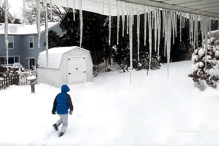
In the city, by the time the flakes shut off before daybreak on Saturday morning, Jan. 29, 2022, 7.5 inches had landed at the official measuring station at Philadelphia International Airport.
» READ MORE: Jan. 29, 2022, was quite the snow day
Since then, something quite remarkable has happened — or, perhaps more accurately, hasn’t happened. The biggest official snowfall since then was the 0.4 inches of March 12, 2022, which was 0.1 more than fell during the entire winter of 2022-23.
As of Monday, it has been 709 days since an inch of snow was recorded in the city, the longest stretch on record, by far.
Will the region be marking the snow drought’s second anniversary three weeks from now?
Said Matt Rosencrans, a scientist with the National Oceanic and Atmospheric Administration’s Climate Prediction Center, “You’re likely to get close.”
He added that whatever lies on the atmospheric road ahead, Philadelphians won’t be needing a snowplow at least for a while.
The short-term outlook
The climate center’s outlook posted Friday called for the odds favoring above-normal temperatures for Philadelphia and most of the rest of the East until mid-January.
By contrast, below-normal temperatures are favored for the western two-thirds of the nation.
Said Tom Niziol, Fox Weather winter specialist, a veteran of the National Weather Service and the Weather Channel, “I do feel that eventually we’re going to see colder air work its way eastward.”
» READ MORE: In Philly winters, expect anything
That, he said, certainly would boost the chances for a Mid-Atlantic coastal snowstorm, given that storm traffic has been active of late.
“That is likely to continue,” he said, and that certainly will be evident this week with a major rain event in the forecast for Tuesday and Wednesday, with potentially serious flooding.
The climate center’s Rosencrans suggested that in terms of storm traffic, it’s possible we haven’t seen rush hour yet.
It’s cooking out there, with sea-surface temperatures over vast expanses of the tropical Pacific 3.5 to 4 degrees Fahrenheit above long-term normals, according to the climate center. The ocean warming is forecast to continue through the winter.
The persistent heating of the overlying air tends to energize a storm’s track across the U.S. Gulf Coast and, eventually, help to generate nor’easters in the Atlantic.
» READ MORE: The early seasonal outlooks foresaw busy storm traffic with El Nino
“I certainly think there’s some of the El Niño fingerprinting, or DNA, helping to modulate the weather across the United States,” said Niziol.
But El Niño’s impact on the U.S. East Coast typically doesn’t ripen until February or March, said the Climate Center’s Rosencrans.
A sine qua non for snow would be cold air.
“It takes two to tango,” Niziol said. “If we get that second ingredient ... there will be better potential to gin up a good Mid-Atlantic snowstorm.”
What NOAA scientist Amy Butler described as a “minor” disturbance in the upper atmosphere over the Arctic — a so-called sudden stratospheric warming event — was occurring last week. Historically, that warming has allowed Arctic air to break loose and spill southward toward the United States.
The event that could lead to a pattern in the North Atlantic that typically favors cold and snow in the East, she said in a social media post Thursday night.
The anniversary
As for the question of whether the region will be holding a snow-drought anniversary party on the 29th, Niziol demurred.
“I’m not a proponent of extended forecasting, especially when it comes to snowfall along the Eastern Seaboard, because there’s so many factors that come into play,” he said.
The limits of predictability don’t extend beyond several days, “even with all the tremendous computer power, satellites, all the information we have these days at our fingertips,” he said.
Plus, he said, forecasters these days are dealing with a wild card.
Climate change
“We’re looking at winters now that are occurring with the background of a globe that has warmed somewhat,” Niziol said.
Snowfall tends to be so erratic that [it] isn’t the best barometer of a changing climate, Niziol and Rosencrans agreed. “It’s what we call a very skewed distribution,” said Rosencrans.
For forecasters in a warming world, said Niziol, “the playing field has changed just a bit. In my mind the jury is still out on a lot about how this is going to evolve.
“It’s fascinating to watch and to monitor ... to see how this three-dimensional fluid works, trying to understand it, and predict it.”