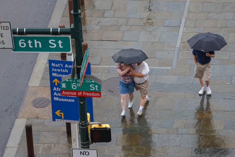
A flood watch is up for the Philly region, but forecasts show a couple of decent days
Flooding forced Gay Street to close in West Chester Monday, and led to a couple water rescues in Exton.

After heavy storms battered the Philadelphia region Monday and overnight Tuesday — causing more than 95,000 power outages — another bout of downpours appears to be threatening the region.
A flood watch remains in effect for Philadelphia and the surrounding area through Tuesday evening, as forecasters expect another round or two of storms — potentially heavy at times — to head through the area Tuesday afternoon and evening.
Of some concern was the fact that the sun was making appearances on Tuesday, adding potential fuel for storms. “That usually leads to the daytime heating that we get a little scared about,” said Cameron Wunderlin, a meteorologist at the National Weather Service Office in Mount Holly.
The government’s Storm Prediction Center has the region under a “marginal risk” of severe storms, those with gusts approaching 60 mph. A severe-thunderstorm warning was in effect in parts of Chester County, including the Phoenixville and Valley Forge areas.
Wunderlin’s colleague, meteorologist Mike Lee, said the rains might not be as intense as what fell Monday and during the early morning hours of Tuesday, but that won’t stop areas from flooding.
» READ MORE: Philly’s weather has taken a turn for the wetter this summer. Here’s why.
“Unfortunately, many of the locations that were hit yesterday with heavy rain and flooding could be hit again today,” Lee said. “Even though the storms may not be as intense as they were yesterday, the ground’s very saturated now, so it won’t take much for floods to happen again.”
The weather service said tornadoes were confirmed in Northampton County and in Somerset County, in northern New Jersey. Details on their intensities were not available.
Flooding caused problems in several areas overnight, according to Lee. Gay Street was closed at Montgomery Avenue in West Chester due to flooding, and there were a few water rescues in Exton on the Route 30 Bypass to Route 202.
Downingtown in Chester County recorded 3.4 inches of rain, while 2.47 inches fell in West Chester. Center Valley in Lehigh County was hit the hardest, recording 3.29 inches of rain.
Along with the rain, the region endured night-long thunder and lightning. “The storm kept me up,” said PECO spokesperson Kristina Pappas, adding that about 97,000 PECO customers lost power at some point.
(Of course, having a 1-year-old and a 4-year-old at home, she added that she doesn’t necessarily need a storm to keep her awake.)
She said PECO crews worked through the night and were back out there Tuesday.
While wet conditions are expected Tuesday and Wednesday, Lee said things should clear up for Thursday and most of Friday, with clear skies and temperatures in the 80s.
“It’s a well deserved break from all this rain,” Lee said.
Enjoy those two days, because it’s looking like Saturday and Sunday could see more rain. Here’s where Philly’s weekend forecast stands, according to Lee:
Friday: Chance of showers and thunderstorms in the afternoon that could linger into the evening.
Saturday: Chance of showers and thunderstorms.
Sunday: Chance of showers and thunderstorms.