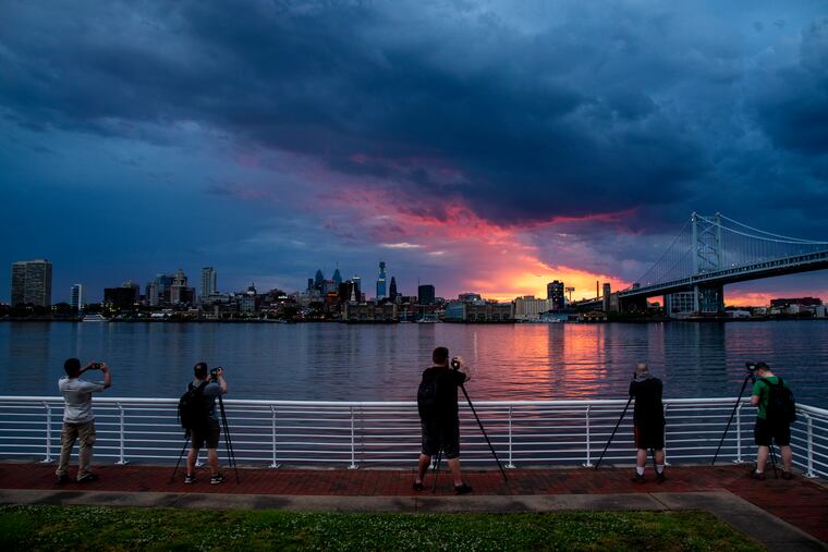
Severe storms likely in Philly area Thursday
The National Weather Service says it can't rule out a tornado threat.

A severe-thunderstorm watch was in effect for most of the Philadelphia region until midnight Wednesday, and the National Weather Service says strong storms are even more likely late Thursday into Thursday night.
The government’s Storm Prediction Center lists the primary threat both days as strong winds; the criterion for “severe” would be winds gusting to near 60 mph.
Storms Thursday are likely to be more potent and potentially dangerous than those that form Wednesday night, forecasters said, as the atmosphere will be well-juiced and unstable.
“Supercells and all severe weather threats will be on the table — damaging winds, large hail, and even the threat for tornadoes — the weather service office in Mount Holly said in its afternoon discussion.
It said Delmarva was the likeliest target, however, the threat would extend into the Philadelphia region with “heavy rain and flash flooding” possible.
The weather service said the main period of concern Thursday looked to be from 5 to 11 p.m., with the storm clearing out overnight, with a potentially splendid holiday weekend to follow.
Temperatures Saturday, Sunday, and Monday are expected to be around 80 or better in the afternoon under ample sun, followed by comfortable nights with lows in the 60s.