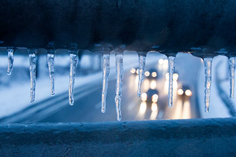
In Philly it will begin to feel lot like Christmas next week, and maybe longer. Hard freezes are expected
Ironically, a tropical storm may have something to do with the chill settling over Philly and much of the nation.

With a traditional holiday assortment of wreaths, garlands, lights, and artificial greens, the shops have announced the arrival of the Christmas season. Now it appears the atmosphere is buying into the idea in Philadelphia, New York, and in much of the nation.
After a pulse of tropical-style rains and November warmth that cooked the East from the Mid-Atlantic to New England ski country to Quebec, cold air pressing eastward is about to result in a run of December-like weather expected to last at least through Thanksgiving around here.
And, ironically, it is possible that an erstwhile tropical storm, Nicole, may have something to do with it.
» READ MORE: Early consensus is that this will be a mild winter in Philly
A “freeze watch” is up for Monday morning for even the Philly “heat island” and adjacent areas where the temperatures haven’t yet fallen to 32, at which point the growing season would become officially toast. Places farther from the city weren’t included in the watch simply because they’ve visited freezing already, said Ray Martin, a meteorologist with the National Weather Service in Mount Holly. Tuesday morning is expected to be even colder.
Daytime highs might nudge just past 50 Sunday, forecasters say, but might not struggle to get past the mid- and upper-40s until after Thanksgiving, if then.
“It’s a very different weather pattern,” AccuWeather Inc. senior meteorologist Bob Larson said Saturday, six days after Philadelphia set three different temperature records. The official high, 79, would have been normal in the first week in June.
Cold winds from the north country, part of the clockwise circulation around high pressure anchored in the northwest, will continue to chill much of the nation, with the odds strongly favoring below-normal temperatures at least into Thanksgiving weekend, says the government’s Climate Prediction Center.
It was snowing in Detroit on Saturday afternoon, and some wintry precipitation is even possible at midweek as nearby as Allentown, said Larson, as a winter-like coastal storm affects the Philly region with a cold rain.
» READ MORE: On average, this is about the time that Philly gets its first freeze
Looking ahead to the Philly Marathon weekend, temperatures at race time might be close to freezing Saturday, but several degrees higher than that Sunday morning. Then, Larson said, another surge of cold air is likely Thanksgiving week that will outdo this week’s.
All this would represent quite a dramatic change from the first week of the month, the warmest Nov. 1-7 period in Philly in 150 years of record-keeping. In addition to the high, Monday set a record for the highest daily average temperature and the warmest overnight low.
Larson said it’s possible that late-blooming Nicole and its remnants had something to do with it. The center of the storm passed well west of Philadelphia, wringing out modest rain amounts around here but 2 to 4 inches in Western Pennsylvania.
» READ MORE: In Philly winters, expect anything
“It certainly disrupted the weather pattern,” he said. “And after something that strong and dynamic goes by, it kind of reshuffles the deck.”
Larson noted that a cooldown followed the passage of Ian’s remnants last fall.
As to what all this might mean for the meteorological winter that is only a few weeks away, the best guess currently might well be nothing. A vigorous cool spell in November 2019 was followed by one of the wimpiest winters on record.
“I don’t think this sets the tone for the winter,” said Larson. In fact, the climate center outlook for early December favors above-normal temperatures. Larson noted that the European model also favors a post-Thanksgiving weekend warm-up.
“We still think the winter as a whole looks mild,” he said.