Snowless Philly winter evidently good for Arctic ice
It was so warm around here because it was so cold up there.

A major reason that Philadelphia ended the winter with a paltry 0.3 inches of snow — that’s about the thickness of a gingersnap — was the persistence with which the polar vortex swirled around the Arctic.
The vortex for the most part kept frigid air imprisoned in the high latitudes, depriving the East Coast and much of the country of snow-making cold air. Nationally it was the sixth-warmest Dec. 1-March 1 in 125 years of records, according to the National Centers for Environmental Information.
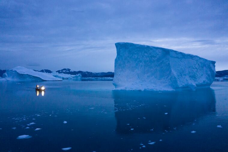
That pattern, however, evidently was favorable for building Arctic ice, which reached its largest extent since 2013, the National Snow and Ice Data Center reported Tuesday.
Not only did the vortex keep the cold air bottled up way up there, it “also deflected any incursions of warm air from lower latitudes,” said Judah Cohen, a scientist with Atmospheric and Environmental Research in Massachusetts.
“Together they have been very supportive of ice growth and preventing anomalous melting.”
All that said, the ice extent still ranked as the 11th-lowest in the 42 years of satellite record-keeping, the center said. And it isn’t possible to predict just how much of the ice will survive the Northern Hemisphere summer, said the center’s Walt Meier.
He also noted that the date on which the ice reached its maximum, March 5, was tied for the eighth-earliest on record.
The earliest was Feb. 24, in 1996, which happened to be during one of the snowiest winters on record in Philadelphia. Interestingly, the latest was March 24 of the following year, which wasn’t particularly snowy.
Nor was the winter of 2019-20. For snow deprivation, the official total of 0.3 at Philadelphia International Airport was second only to the “trace” of 1972-73.
And, yes, the forecast remains flakeless, the government saying odds favor a warmer-than-normal April.