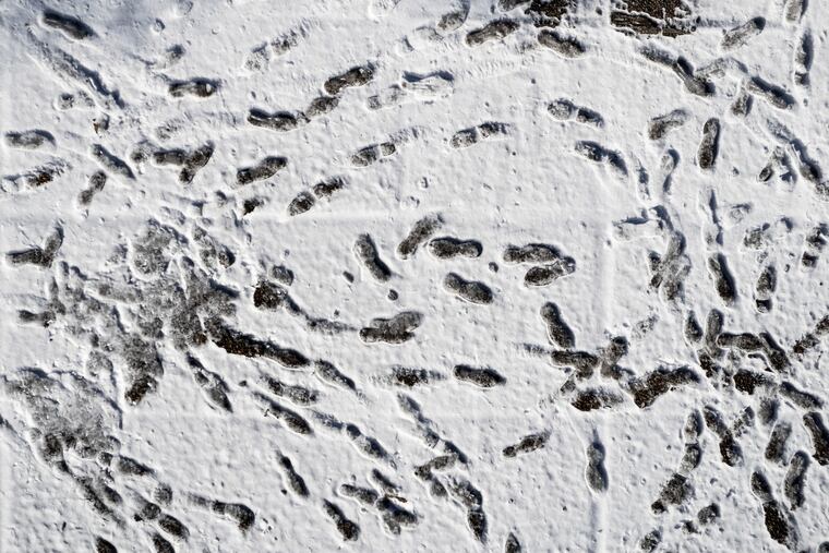
Philly’s official snow total for Saturday just tripled
The total jumped from 0.1 to 0.3 inches. Another snowfall is possible on Martin Luther King Day.

Upon further review, the National Weather Service has determined that 0.3 inches of snow fell upon Philadelphia International Airport on Saturday, up from the initial report of a tenth of an inch.
No, drifting evidently was not a factor in the revision.
In reviewing the measurement, the weather service looked at totals from areas nearby and the precipitation total as measured by its automated observing system, said Ray Martin, a lead meteorologist at the National Weather Service office in Mount Holly.
That liquid total came to 0.02 inches. Based on estimates of the water-to-snow ratio, the snow total popcorned to three-tenths of an inch. The new figure was posted at 1 a.m. Tuesday with the updated daily climate summary for Monday.
“We made a little adjustment,” Martin said. “Let’s just say we trusted the gauge a little better than we trusted the measurer.”
It was the second time this month that the weather service tweaked a snow total: It bumped up Jan. 3’s amount from a “trace” to 0.1. With the adjustments, Philadelphia’s seasonal total climbed to 2.5 inches, a full 0.4 inches ahead of Atlanta’s.
Is estimating snowfall from the amount of precipitation acceptable?
Snow measurement is deeper than just sticking a ruler in a pile of white. The National Oceanic and Atmospheric Administration has quite a complicated set of procedures for doing it. And those who maintain climate records are rather persnickety about precision.
Inferring snow amounts from liquid equivalents is an accepted weather-service practice, although far less preferable than actual measurements, which are the responsibility of contracted observers at the airport.
For Philadelphia’s biggest snowfall on record, the 30.7 inches of Jan. 7 and 8, 1996, the amounts were derived from the liquid equivalent. For one thing, powerful winds made the snows a moving target.
The non-measurement of the actual snow in 1996 became the impetus for a NOAA investigation. The investigators determined that given the conditions and other totals reported around the area, the total was credible and thus remained on the books.
When is the next time the Philly region might see some snow?
It is at least possible that the airport observers may have something to measure come Sunday night into Monday, Martin said.
No major storm is expected, but a 1- to 3-inch type snowfall is possible, in advance of what the computer guidance suggests will be the coldest weather so far this season.
With a rare certainty, NOAA’s Climate Prediction Center is calling for below-normal temperatures from Texas to Connecticut, with a confidence level of five on a one-to-five scale.
Not that it’s picnic weather this week. Temperatures through Thursday are not expected to rise much above freezing. High temperatures during the weekend are forecast to rise into the 40s, with single-digit lows possible next week.