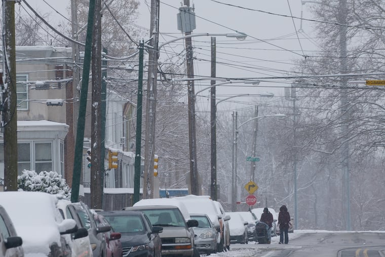
A foot of snow possible in the Philly region; the city hasn’t had even an inch since March 2019
Heavy snow is possible Wednesday night, but mixing might hold down accumulations.

It’s been more than awhile since the term “winter storm warning” has appeared in an official forecast, but on Tuesday the National Weather Service issued one for the entire region for the potential of a foot-plus in the region — less to the south and east — Wednesday into Thursday.
For that matter, it’s been awhile since Philadelphia had even an inch of snow. The last time it happened was on March 3, 2019. That was right after the Phillies signed Bryce Harper and looked like World Series favorites, back in the day when sports fans could actually sit next to each other at games, or on bar stools.
The latest National Weather Service forecast, greatly subject to change, calls for up to 9 inches in the city, and perhaps 12 to 18 in the farther out Pennsylvania suburbs, with less to the south and east and the I-95 corridor right in the battleground between rain and snow.
Crews will be out pretreating roads on Tuesday, said PennDot spokesman Brad Rudolph. But he noted that it has been so long since a respectable winter storm around here that drivers are out of practice. And chances are that those newly licensed in the last 20 months have no experience driving in snow.
Rudolph said he is hoping that not many will take advantage of it, but the weather service is quite confident that the opportunity to gain winter-driving experience will arise on Wednesday.
If the precipitation changeover line fails to make it very far past the coast, the entire region could be in for a snowstorm that rival the coronavirus for shutdown power. As things stand, mostly rain is expected at the coast with the forecast snowier from central Jersey west.
As is often the case, especially in early-season coastal storms like this one, the I-95 corridor will be quite close to the transition zone. And as is so often the case, computer models have been bickering over details.
» READ MORE: The case of the disappearing snow: A stormy week — for the computers
Said Davis, “We’ll probably have some mixing.”
In any event or nonevent, it appears that Philadelphia is about to end a near-historic snow drought. An inch of snow fell on March 3, 2019 — yes, that storm watch didn’t quite work out — and the city hasn’t experienced another inch since. That’s 652 days.
Davis pointed out that so-called urban heat island effect, with all the city’s heat-retaining buildings and paved surfaces, could hold down accumulations Wednesday in Philadelphia.
» READ MORE: Forecasters predicted a lot of snow for Philadelphia. So what happened?
Plus, it generally has been quite warm. Temperatures crested past 60 Saturday and Sunday. The other issue is the ocean: Surf temperatures off Atlantic City were close to 50 Monday afternoon, several degrees above normal.
Onshore winds would lure that warmth landward. Precipitation along the coast likely would be all or mostly rain, and it was unclear how far inland milder air would penetrate at the surface and aloft.
Mixing could hold down city snow totals, said Dave Dombek, senior meteorologist with AccuWeather Inc., but if the precipitation is all snow, 6 to 10 would be in the ballpark. And Dombek pointed out that the region has experienced some significant pre-solstice snowfalls.
The weather service said the genesis of the storm arrived on the Pacific Coast Monday and was due to track across the country and become a major nor’easter Wednesday. Davis said it will be moisture-laden, and will get an extra kick from strong winds in the upper atmosphere as it approaches the Delaware and New Jersey coasts.
Snow is forecast to creep into the region during the morning Wednesday, pick up intensity in the afternoon, and become heavy at night, with mixing possible.
As the storm intensifies it will generate strong winds and heavy, wet snow that could threaten some trees and power lines.
» READ MORE: Much has changed in 2020. The magic and mystery of snow persist.
Temperatures are forecast to be right around freezing when the precipitation starts, and where they go from there will depend on the track of the storm.
A track closer to the coast would mean more warm air. If the storm stayed farther offshore, its counterclockwise circulation would draw in some of the very cold air now chilling southeastern Canada.
Road conditions will hinge on both the temperature and how much the snow intensities. The weather service says that snow could fall at rates of 1 to 2 inches an hour late Wednesday afternoon into the evening.
» READ MORE: Snow shocked Philadelphia in December 1960. The forecast whiffs these days tend to be quite different.
Rudolph said that although more people are working at home, traffic still is about 85% of normal volumes. He added that PennDot is urging employers to let everyone work at home if the snow comes.
If people need to travel, they should make sure their vehicles are gassed up and ready for winter. “Disabled vehicles are a big headache,” he said. “They clog traffic and obstruct plowing.”
No matter what happens, PennDot won’t have an issue with salt supplies. It was able to use it sparingly last year, and has 130,000 tons on hand for this winter.