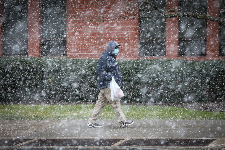
Snow squalls cross region, and Philly gets its first ‘trace’ of the month
The squalls quickly reduce visibiilities.

With a squall whose ferocity was rivaled by its brevity, Philadelphia officially logged a “trace” of snow Wednesday, an amount notable only in that it represented the biggest snow of the month.
“It’s been a while,” said Robert Deal, meteorologist at the National Weather Service Office in Mount Holly.
The automated sensor at Philadelphia International Airport detected “light snow” at noon, with a 40-mph wind gust as a rapidly moving squall ever so briefly interrupted what has otherwise been a remarkably uneventful January.
The random flakes that fell Monday and Tuesday somehow eluded the official observers, so this was the first “trace” detected since Christmas.
The squalls — blizzards without attention spans that last about as long as the average meteor — were set off by a cold front that generated the potent winds. A gale warning was in effect along the Jersey coastal waters.
After Wednesday, however, winter will return to its uneventful ways. After falling into the 20s early Thursday and Friday, highs are due to return to the 40s both days.
Weekend temperatures won’t get out of the 30s, forecasters said, and that chill will persist into the workweek, with snow and/or rain possible Monday and Monday night.