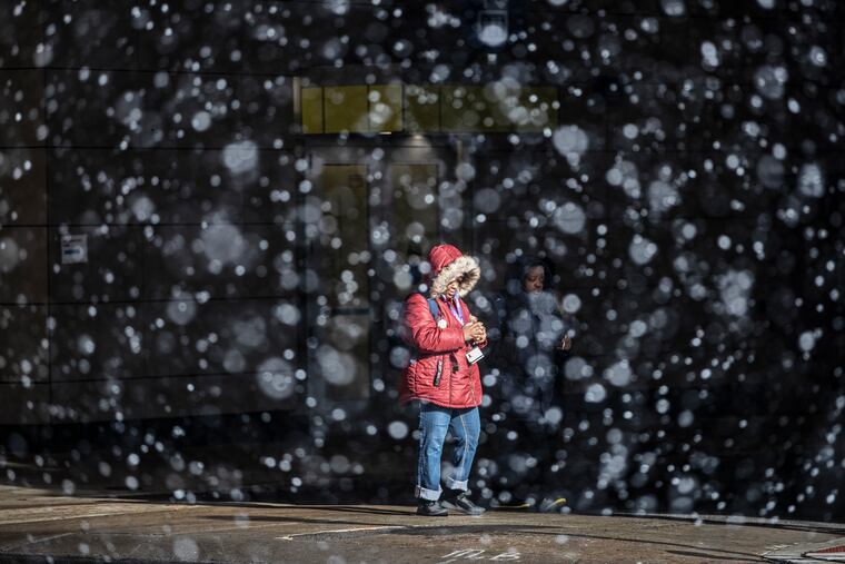
Snow squalls are possible Sunday as the Philly region gets a taste of actual winter
Nuisance snow is possible Tuesday, but a major storm still isn't out of the question, a forecaster says.

Snow squalls — not to be confused with flurries — accompanying a surge of Arctic air could cross the Philly region Sunday, generating brief periods of blizzard-like conditions, the National Weather Service is warning.
The squall threat will mark a dramatic return — or perhaps more properly, arrival — of winter as Philly gets a taste of what most of the country has been experiencing. Forecasters say two more snow threats loom this week, although the first one, on Tuesday, may be more on the level of nuisance.
Squalls literally can come out of the blue and occur without warning, but the likeliest time for them to develop would be between 10 a.m. and 2 p.m., said Ray Martin, a lead meteorologist at the National Weather Service Office in Mount Holly.
» READ MORE: Snow squalls are blizzards without attention spans
“I wouldn’t advise driving during that window if you can avoid it,” he said.
Winds could gust to 50 mph, and snow could quickly cover untreated roads.
The weather service says that up to a half-inch of snow could accumulate in places that experience the squalls, which, in effect are mini-blizzards that can reduce visibility to about the hood of your car. Meteorologists advise that if you encounter one while driving, pull over and wait it out if you can. Chances are that it won’t last long.
After the front pushes through, temperatures will struggle to get above freezing at least through next Saturday, forecasters are saying. In short, Philly is about to join the rest of the country.
On Saturday, wind-chill warnings and advisories for dangerous cold were in effect from Washington state to North Texas to Columbus, Ohio.
The chill around here from the “Arctic intrusion” will be getting an extra bite from snow cover to the north and west of the I-95 corridor, said Alan Reppert, senior meteorologist with AccuWeather Inc. Just about all of Canada is snow-covered, according to satellite data assembled by the Rutgers University SnowLab.
Accumulating snow is possible Tuesday, although the trends on computer models have argued against a major snowstorm.
“I wouldn’t say it’s definitely off the table, that we’re out of the woods for a big storm,” said Martin, but on Saturday it appeared “unlikely.” Another snowstorm threat could pop up later in the week.
Regardless, the region almost certainly is done with the rain for now after seven weeks of it, including the 2- to 4-inch downpours Tuesday night and early Wednesday.
The rains of Friday night into Saturday may have been a pale sequel, with amounts generally in the 0.5- to 1-inch range, but with some higher amounts in South Jersey, including more than 2 inches in Turnersville, Gloucester County.
» READ MORE: Flooding in Delran this week damaged more than 50 homes
With rains and a tidal tug from the moon, which was in its “new” phase Thursday, waters rose past moderate flood stage at multiple gauges on the Jersey Shore, including at Steel Pier.
Police officers and firefighters rescued 14 people in Egg Harbor Township after water poured into rooms in two motels in the West Atlantic City section of town, police said. The motel parking lots were covered by more than a foot of water, they said.
Flooding resulted in the closing of the Black Horse Pike for about four hours.
Flooding was reported at Bristol Wharf, in Bucks County, and at Linden Street Boat Ramp, in Northeast Philadelphia, the weather service said.
In river areas of Burlington County that were hit hard earlier in the week, rain flooded roads and yards on Saturday, said county emergency management spokesperson Dave Levinsky. Two water rescues involving vehicles were reported.
He added that four Delran homes had been condemned as a result of the earlier flooding but that no additional damage had been reported Saturday.