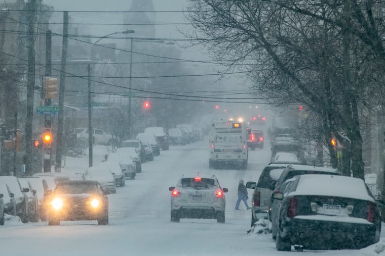
More snow is possible Monday around Philly, but after three weeks of this, a winter break is likely
The sun might even reappear this weekend.

It is not going to snow this weekend. It’s not even going to sleet. The sun might even reappear, and the atmosphere is hinting strongly that after three rather eventful weeks in the Philadelphia region, winter might soon be going on break.
It just might take its time packing. Temperatures Saturday and Sunday aren’t expected to get much above freezing, forecasters say. Monday should be a few degrees warmer, but also it might snow again, perhaps a few inches north and west of the city before turning to rain.
Highs in the 40s are expected later next week, and the government’s Climate Prediction Center outlook into the first week of March sees a significant pattern change that will chill the West and warm the East. It’s at least possible that by the end of the month, some folks again will see how much spring yard work awaits them.
While the sun is gaining power by the day, parts of the region are encased in a dense snow-and-ice pack that likely is going to take some time to vanish after three weeks of actual winter around here.
Up to about an inch of snow, sleet, and freezing rain on Friday added a coating of white or a glossy finish to residue of the storm that produced an extraordinary range of snow and ice totals Thursday.
And for parts of the region, particularly a narrow corridor arcing from Chester County into central New Jersey, what fell from the skies was so much drizzle in the ocean.
Some areas to the north and west of the city measured double-digit snow totals Thursday, most of it falling at astonishingly rapid rates, 2 and 3 inches an hour.
The contrasts in amounts were almost equally astonishing. This has been a familiar phenomenon since the winter rediscovered itself at the end of last month. Cumulative totals for the four storms have ranged from just more than 16 inches at Philadelphia International Airport to 2 to 3 feet in areas to the north and west.
The reasons are deeper than just the typical Philadelphia International Airport banana belt vs. the region’s usually snowier areas. Totals have differed within municipal boundaries.
» READ MORE: After up to 10 inches of snow in the Philly area; sleet, freezing drizzle, and icy roads persist into the night
On Thursday in the Wayne section of Radnor Township, Delaware County, 10.2 inches was measured on Thursday; in the Villanova section, 5.8 inches. Malvern, Chester County, reported 10.2; West Chester, eight miles away, less than 4.
Officially, 3.4 inches landed upon the airport measuring station; nearly 9 inches was reported from Chestnut Hill.
In the city’s case, the airport is near sea level; Chestnut Hill, about 450 feet up, which would make it chillier than the lowlands, and upward sloping terrain could give the rising air that causes snow an extra lift.
But the diverging snow amounts Thursday had more to do with the dramas of the upper atmosphere, said Patrick O’Hara, a meteorologist at the National Weather Service in Mount Holly and a veteran of the Buffalo lake-effect snow wars.
People tend to focus on what’s happening with weather systems at the surface — a “low” here, a “high there” — but “you have to look at what form the vertical perspective,” said O’Hara’s colleague Nicholas Carr.
Snow falls when warmer air rises over colder air and condenses. On Thursday warm air associated with the approaching storm was launched upward by the cold air at the surface, a deeply diluted version of what chilled Texas during the week.
» READ MORE: Texas just had its second-coldest week ever, state climatologist says
The heaviest snow was focused on a narrow corridor where the “lift” was particularly robust, getting a kick from jet-stream winds near 200 mph at 40,000 feet, and a zone of winds up to 70 mph near 7,000 feet, said Carr.
As often happens, if one area is under a profoundly heavy snow band, chances are that snow amounts will be less on either side. Plus, away from the band, more sleet was falling. Since sleet weighs about three times as much as snow, the average shovel probably didn’t know the difference between 4 inches or 10 inches.
» READ MORE: To treat icy roads, highway agencies look to grapes, cheese, and vodka as alternatives to salt
In any event, the forecasts suggest that the shovels won’t be needed for awhile, maybe not even Monday.