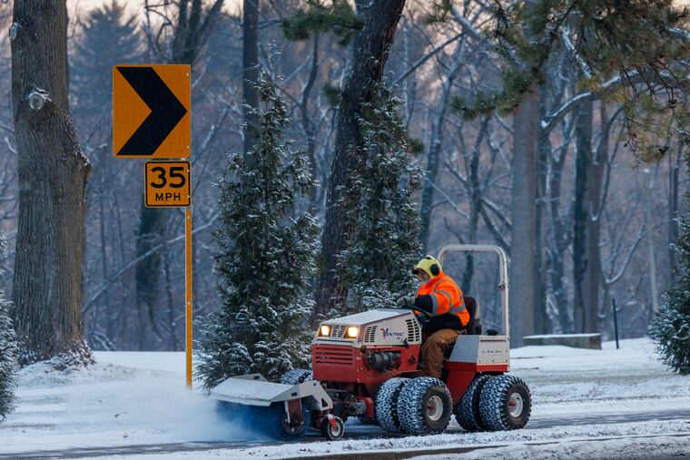
A winter storm warning for snow is up for parts of the Philly region Sunday. The Linc is going to get sloppy
Several inches are expected north and west of Philly, less to the south and east. It may peak during the Eagles game.

Still recovering from months of being the nexus of a national political battleground, the Philadelphia region evidently is going to be an atmospheric battleground on Sunday, when the boundary between heavy snow and not so much may be a metaphorical matter of inches.
Just how much falls across the region may well be decided during the Eagles-Los Angeles Rams NFL playoff game in South Philly, when the precipitation is likely to peak. It may start as rain — or that seasonal favorite wintry mix — especially from I-95 south and east, and snow totals would depend on how fast the changeover occurs.
And while Saturday’s jammed parking lots and crowded stores suggested that the forecasts were calling for an outside chance of nuclear war, computer models on Saturday were not seeing a mega-storm, although this could be Philly’s biggest snowfall of the season so far. The current champion at the official measuring station at Philadelphia International Airport is an unimpressive 1.8 inches of Jan. 6.
The National Weather Service posted a winter weather advisory for 2 to 4 inches for the city and the neighboring Pennsylvania suburbs. A winter storm warning was in effect for Chester County, where the popular Longwood Gardens announced it would close Sunday; Upper Bucks County, where Solebury has declared a snow emergency, and northern Montgomery County.
AccuWeather Inc. was going with 1 to 3 in the city (the “1″ including the airport), and up to 6 in areas well north and west of town, said senior meteorologist Tom Kines.
AccuWeather, the weather service, local TV stations and private meteorologists all were seeing lesser amounts for South Jersey and Delaware.
When the snow ends, expect a 100% chance of ice. Kines advised that no matter what falls, move it as soon as possible: Frigid air borne on an “Arctic express” is going to lock it in place for several days.
If you wait, he said, “get your ice sculpture materials out.”
What time will the snow start in Philly and when will it end?
Light precipitation could begin in the morning, especially south and east of the city, said Sarah Johnson, the warning coordination meteorologist with the National Weather Service.
AccuWeather’s Kines said he expected the bulk of the snow or snow/rain mix from Philly on west to get underway between noon and 2 p.m. and continue through the Eagles game, which starts at 3. At some point during the game, whatever is falling likely will become all snow throughout the region and stop probably not long after the game does.
“I don’t think there’s any doubt there’s going to be precipitation,” he said. “It’s definitely going to make for a sloppy field either way.”
With temperatures close to freezing, the final snow totals are likely to vary wildly, with more accumulating in the elevated areas of the city — such as Germantown, Mount Airy, Roxborough, and Chestnut Hill — than downtown.
The heaviest amounts are forecast to fall west of I-95. “If you want to get a decent amount of snow, head west,” said Kines. “Definitely don’t head south and east.”
Why is Philadelphia so often on the borderline between rain and snow?
The region’s most significant snows are wrought by nor’easters, such as this one.
It is forecast to form off the southeast coast Sunday along the leading edge of an air mass originating in Siberia and turning much of the nation into an Alaska wannabe.
The onshore winds of nor’easters import snowmaking moisture from the Atlantic Ocean, but that air also is mild. If the warming winds penetrate far enough inland, they can turn snow to rain. Being only about 60 miles from the Atlantic, it often happens that the rain/snow line forms near here with snow to the west.
A famous case of this phenomenon occurred during the Continental Army’s surprise invasion of the Hessians in Trenton in 1776 during the American Revolution. After the soldiers, led by Gen. George Washington, crossed the Delaware River on Christmas night, they marched through a punitive wintry mix, according to diary accounts
But Thomas Jefferson measured 21.1 inches of snow in western Virginia, a good 150 miles from the Atlantic.
Could the temperature reach zero in Philly in the next few days?
It’s possible in parts of the region, said the weather service’s Johnson, assuming a healthy snow cover.
When the skies are relatively cloud-free and the wind is calm — conditions forecast for early Tuesday and Wednesday — daytime heat captured in a mantle of snow tends to rocket into space allowing the temperature to plummet.
It is even remotely possible at the airport, which hasn’t hit zero since Jan. 19, 1994.
Temperatures are forecast to fall into the teens Sunday night and early Monday after the snow stops, get no higher than the mid-20s Monday, and maybe not even 20 Tuesday and Wednesday. Morning lows in the single digits are expected Tuesday and Wednesday morning with wind chills below zero.
Another storm passing to the south Tuesday night could “brush” the region with more snow, the weather service says.
If that did indeed happen, it remained unclear just how much of a base it would have to land upon. Don’t be surprised to see updates even as the precipitation is falling Sunday, given questions about the track and intensity of the storm.
“With any of these type of events,” said Johnson, “that leads to uncertainty as to snow amounts.”
AccuWeather’s Kines said if he were attending the Eagles game, he would be rooting for snow.
“If you’re a spectator, you almost want it to be snow,” he said, “because 33 and rain doesn’t excite me.”