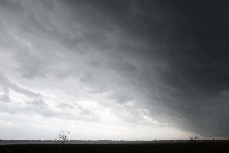
Flood watch for Philly region as Tropical Storm Fay becomes Atlantic hurricane season’s sixth named storm
Tropical storm warnings are up for the Shore. Fay has become the earliest "F" storm in the Atlantic Basin on record. Isolated tornadoes possible.

» THE LATEST: Friday updates on Tropical Storm Fay in the Philadelphia region
Tropical-storm warnings are up for the Jersey Shore, and a flash-flood watch has been posted for the entire region as the newly born Fay is forecast to parallel the Mid-Atlantic Coast and wring out heavy rains on Friday.
Widespread rainfall amounts of 1 to 3 inches are possible with even higher amounts in some areas, the National Weather Service said. Fay could spawn isolated, although probably weak, tornadoes, said Patrick O’Hara, a meteorologist with the weather service’s Mount Holly office.
Gusts to 40 mph or better are possible right along the Shore, he said.
Fay late Thursday afternoon became the sixth named storm of an Atlantic Basin hurricane season that is two months ahead of its time. It’s a record: In the satellite-tracking era, which began in 1966, the previous record for an “F” storm was July 22, in 2005, said hurricane center spokesperson Dennis Feltgen. That was the year of Katrina.
But as Philip Klotzbach, a hurricane specialist with Colorado State University, points out, none this year have grown into hurricanes, and this one probably won’t either after it reaches the naming threshold — peak winds of 39 mph. Saharan dust has suppressed storm development in the hurricane-spawning grounds of the tropical Atlantic.
» READ MORE: ‘Historic’ Saharan dust fills the air from Africa to the United States. But it does have a plus side.
Fay’s primary threat to our area would be pouring rains as the atmosphere is forecast to be well-juiced around here as the storm turns to the north and forced to track near the coast by high pressure over the Atlantic.
The government’s Weather Prediction Center has the region under a marginal risk for “excessive rains.”
The weather service says dangerous rip currents are likely at the beaches.
Not surprisingly, it advises that small changes in the storm’s track could make huge differences.
» READ MORE: An ‘unreal’ sequence was behind the hail, downpours, and floods in the Philly area Monday
The storm is likely to wring out heavy rains in the Mid-Atlantic even if it never gets a name.
On average, the sixth named storm of the season, which begins on June 1, does not occur until Sept. 8, but Klotzbach said that is no cause for panic.
» READ MORE: Arthur, the first named tropical storm of an expectedly busy hurricane season, forms off Fla.
“There’s very little correlation between activity through mid-July and overall hurricane activity,” Klotzbach said. “We expect an active season, but it’s more due to overall conducive basin-wide conditions — not a few fairly weak storms which have mostly formed at higher latitudes.”