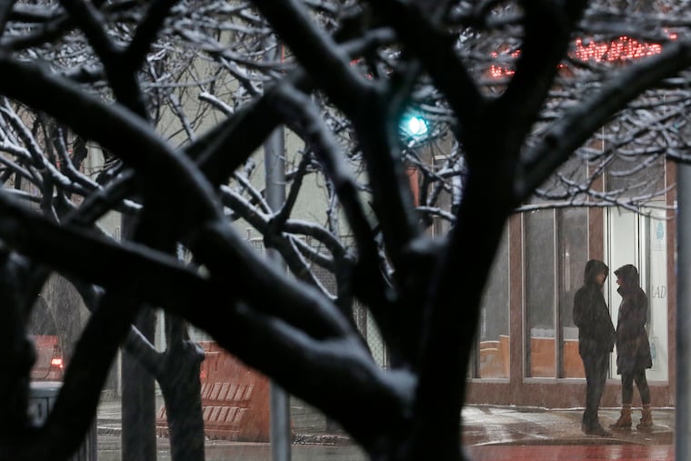
Forecasters predicted a lot of snow for Philadelphia. So what happened?
A blanket of snow turned into a dusting for much of Philadelphia, proving once again how tricky predicting the weather can be.

So much for a snow day.
Over the weekend, a winter storm threatened to drop as much as eight inches of snow in and around Philadelphia. According to the National Weather Service, snow was forecast to fall at the rate of an inch or more per hour.
Instead, the storm moved through with mostly a whimper, dusting the city with just about an inch of snow. Conditions along I-95 were pretty normal for the Monday morning commute, and most of the heavy snowfall occurred north and west of the city, with Elverson in Chester County topping the list with 7.1 inches.
So what happened?
According to Michael Silva, a meteorologist at the National Weather Service based in Mount Holly, the big question about the storm was where its rain-snow line would end up. Earlier forecasts placed it south of I-95, which is why some of the agency’s forecasts predicted heavy snow in Philadelphia and northern Delaware.
“The main issue is we had some warmer air filter up, and it spread a little farther to the north and to the west than we originally thought was going to happen,” Silva said. “So that’s what led to lower snow amounts in and around the Philadelphia area.”
Silva said forecasters expected heavier bands of snow to fall in and around Philadelphia, which would have led to higher amounts of accumulation. But they never materialized, killing any real chance of significant snowfall in the city.
“Temperatures were able to stay up at or just above freezing, so that really cut down on the snow amounts,” Silva said. “We also had a lot of sleet mixing in with the snow, and that cut into the snow amounts, too."
While Philadelphia and South Jersey didn’t receive much in the way of snow, you didn’t have to travel that far from I-95 to see totals of three or more inches. King of Prussia recorded 4.2 inches of snow; Valley Forge came in at 3.1 inches. Several towns in Chester County ended up with five or more inches of snow.
Dave Dombek, a senior meteorologist at AccuWeather, said that even in places that saw significant snowfall, it seemed to be less because many driveways and roads were clear by Monday morning.
“Even these places out in the suburbs in Bucks and Montgomery Counties that got four to six inches or more of snow … most of it melted off the grass because of the time of the year and because it wasn’t terribly cold,” Dombek said. “So the perception from a driving, plowing, and shoveling standpoint is that it really wasn’t that bad.”
While Monday’s high was around 40 degrees, temperatures overnight were expected to plummet to the high teens, likely freezing whatever snow and slush remained on the roadways.
It’s expected to remain cold for the rest of the week until temperatures begin to increase slightly by the weekend.