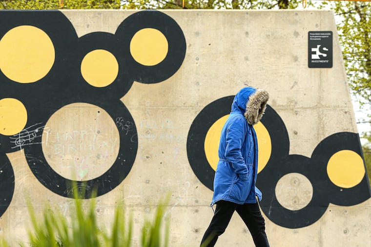
It’s chilly in Philly, but history says it’s OK to put away the snow shovels
No measurable snow has fallen officially in Philly after April 20. But it's been chilly. Monday marked the latest last official freeze in 34 years.

Measurable snow was reported not far from the Chester County border Tuesday from that nasty post-season nor’easter, and on the day after Philadelphia recorded its latest official freeze in 34 years, the atmosphere had all the charm of a December afternoon.
For the second straight day, random ice pellets were sighted around the region, but if history is any barometer, it is safe for residents of the Philadelphia city-state to retire the snow shovels for the season.
On April 19-20, 1983, 1.9 inches of snow was recorded in Philadelphia, 0.6 of that on the 20th, and no snow worth measuring officially has fallen upon the city after that date, according to National Weather Service records.
» READ MORE: We're still in the whiplash season
For the season, assuming we’re calling it a wrap, Philadelphia finishes with 12.9 inches reported at Philadelphia International Airport, about 60% of normal. Similarly, Allentown, with 19.5 inches, and Wilmington, at 10.9, presumably finish at 60% of the 30-year normal values.
Atlantic City, with two mega-storms from coastal cyclones in January, ends with 33.3 inches, or double the long-term average.
» READ MORE: Images from that Jan. 3 snow at the Shore
For those who wonder what happened to spring, it is returning this week — but don’t get too used to it.
The backlash winds from the nor’easter that clocked parts of central Pennsylvania with 10 to 14 inches of snow and generated some coastal flooding at the Jersey Shore was due to continue into early Wednesday with gusts to 30 mph.
The winds were expected to back off to a gentle breeze during the day with a high near 60 degrees, and readings in the 70s were in the forecast into early next week.
Wednesday’s high, 52, was 14 degrees below normal, and a bit shy of the record high for the date, 91, set in 1876.
Readings were forecast to fall into the 30s for a third consecutive morning Wednesday, but no more killer freezes are in the forecasts.
Monday’s low at Philadelphia International Airport, 32 degrees, marked the latest official freezing reading in the city since the 32 on April 22, 1988.
However, the government’s Climate Prediction Center two-week outlook has odds strongly favoring a return to chilly conditions into early May with the kind of pattern that might warm the heart of a snow-lover in January.
But assuming history can be trusted, it would be nothing more than a spring spoiler.