Sun will give way to thunderstorms and potentially flooding rains as Pink is set to take stage at the Linc Sunday night
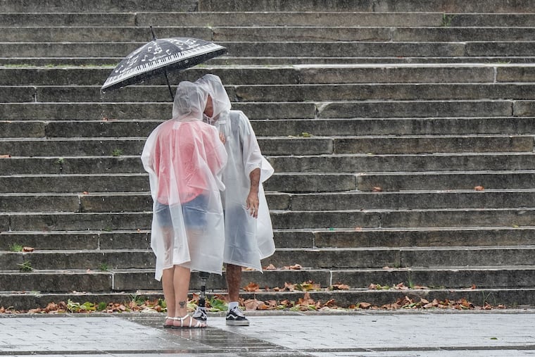
Rain is expected to be off and on this afternoon with early evening looking like prime time for the most dangerous conditions, according to the National Weather Service.
Sunday might have started out sunny, but increasingly unstable atmospheric conditions in the afternoon were set to produce heavy rain and damaging winds with potential for a tornado or hail.
Rain is expected to be off and on this afternoon with early evening looking like prime time for the most dangerous conditions, including life-threatening rip currents along the Jersey Shore. Rain could concentrate, or “train,” over some areas, leading to flooding, according to the National Weather Service.
As a result, the weather service has issued a severe thunderstorm watch until 10 p.m. for much of the area.
It has also issued a coastal flood advisory and a flood watch for the Philadelphia region. An advisory means flooding may become a nuisance, but not significant. A watch means conditions are favorable for a weather event, but not that it will necessarily occur.
Today’s Phillies game against the Washington Nationals at Citizens Bank Park started out sunny, but conditions could take a turn by the 6:30 p.m. scheduled start of Pink’s Summer Carnival 2024 concert with Sheryl Crow across Pattison Avenue at Lincoln Financial Field.
According to weather service reports, “the stage is set” for high rates of rain and “possibly a stray tornado or a little hail.” The weather service called for “multiple waves of showers and thunderstorms” with an initial wave along and north of the I-95 and I-295 corridor.
The Philly area should expect thunderstorms after 3 p.m., some severe, that produce half to three-quarters of an inch in most areas, with a high of 82, according to the weather service.
However, a cold front passing through starting overnight through Monday night will give way to a high pressure system that should bring a mostly sunny week with low humidity and near fall-like highs and lows.
It will be a good week to open the windows and give air-conditioners a much-needed break.
Here’s the forecast for the week:
Monday: Showers and thunderstorms are likely before 11 p.m.
Tuesday: Mostly sunny with a high near 73, and a low of 58.
Wednesday: Sunny with a high near 75, low of 58.
Thursday: Sunny with a high near 78, low of 61.